Map of Edmond, Oklahoma
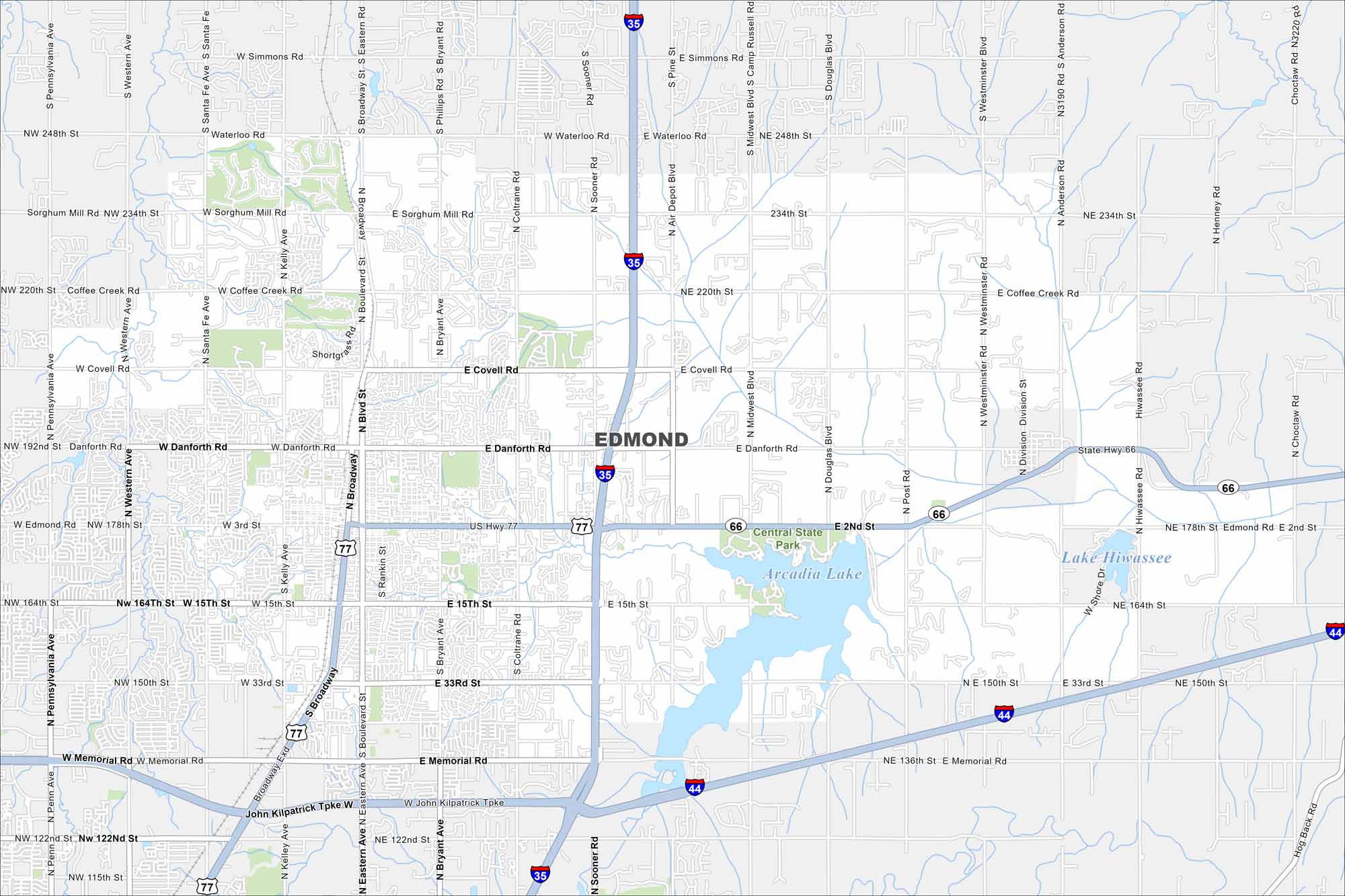
Our map of Edmond marks a large suburban area north of Oklahoma City. Arcadia Lake sits on the east side, great for outdoor activity. Edmond is also crossed by major highways linking it directly to the capital.
Map Information
On the Map
Interstates/Highways: I-35, I-44, US Hwy 77, State Rte 66 Major Roads: Broadway, Memorial Rd, 2nd St, 15th St, 33rd St, Danforth Rd, Covell Rd, Waterloo Rd, Coffee Creek Rd, Sorghum Mill Rd, Simmons Rd, Western Ave, Santa Fe Ave, Kelly Ave, Boulevard, Bryant Ave, Coltrane Rd, Sooner Rd, Midwest Blvd, Douglas Blvd Lakes and Reservoirs: Arcadia Lake, Lake HiwasseeOklahoma State Maps
Here is our map collection of the Sooner State.


City Maps of Oklahoma
Explore Oklahoma’s cities with our maps


