Map of Erie, Colorado
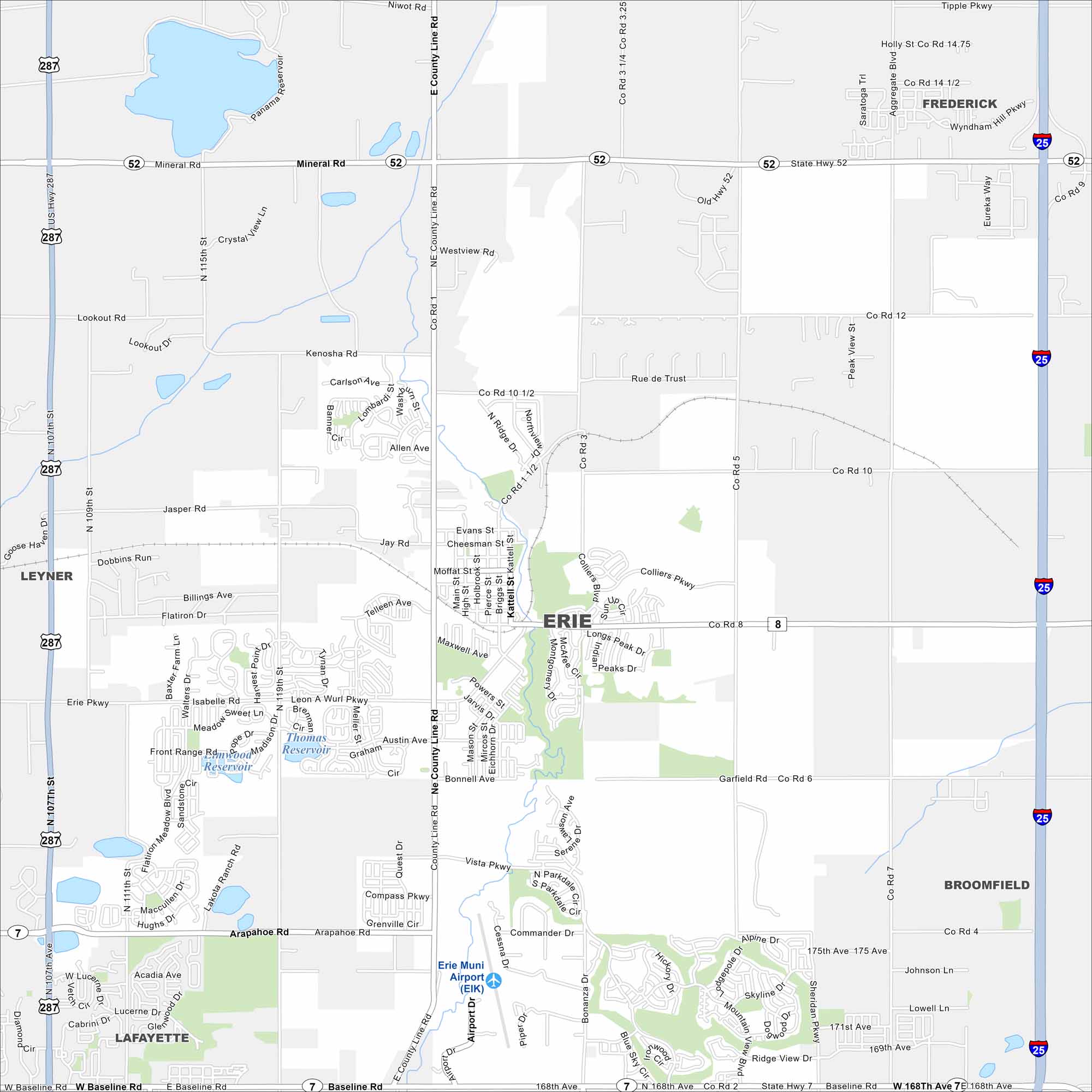
Our map of Erie shows it between Denver and Boulder. The Front Range mountains frame the horizon. But open fields still surround its suburban growth.
Colorado State Maps
Browse Colorado with our detailed state maps


Map Information
On the Map
Interstates/Highways: I-25, US Hwy 287, State Rte 52, State Rte 7 Major Roads: Baseline Rd, Arapahoe Rd, County Line Rd, Erie Pkwy, Jasper Rd, Lookout Rd, 119th St, 168th Ave, 175th Ave, Tynan Dr, Bonnell Ave, Vista Pkwy, Briggs St, Main St Airports: Erie Muni Airport (EIK) Lakes and Reservoirs: Panama Reservoir, Thomas Reservoir, Front Range Reservoir Nearby Communities: Frederick, Lafayette, Broomfield, LeynerColorado City Maps
Here are maps of Colorado’s urban areas


