Map of Fall River, Massachusetts
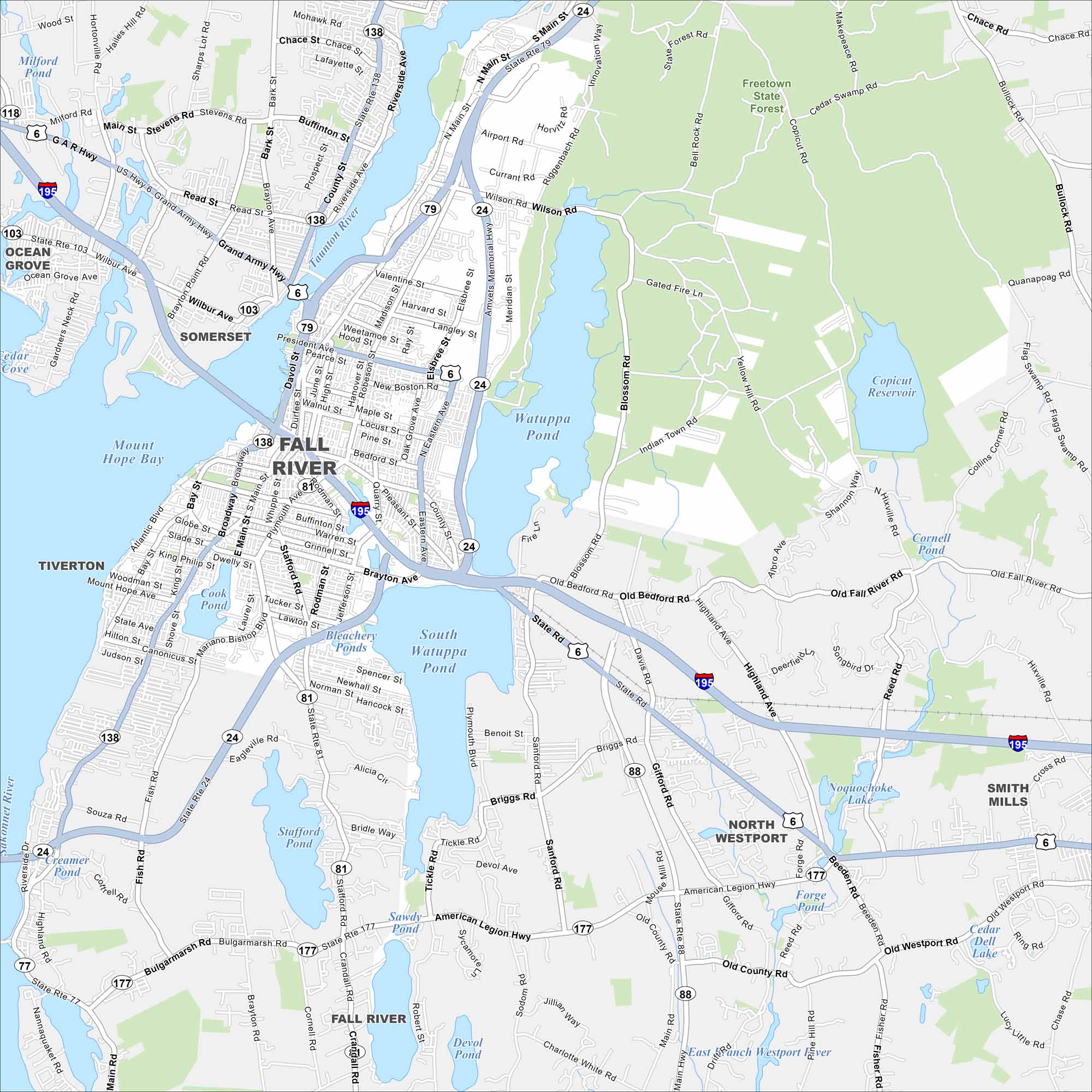
Fall River sits on Mount Hope Bay in southeastern Massachusetts. The Taunton River cuts through the city before reaching the bay. That waterfront location defines this map.
Map Information
On the Map
Interstates/Highways: I-195, US Hwy 6, State Rte 24, State Rte 79, State Rte 138, State Rte 81, State Rte 177, State Rte 88, State Rte 77 Major Roads: President Ave, Main St, William S Canning Blvd, Eastern Ave, Brayton Ave, Plymouth Ave, Stafford Rd, New Boston Rd, Wilson Rd, Airport Rd, American Legion Hwy, Old Bedford Rd, Old Westport Rd, Highland Ave, North Main St, Mariano Bishop Blvd, Davol St, Robeson St, Bedford St, Rodman St Lakes and Reservoirs: Watuppa Pond, South Watuppa Pond, Mount Hope Bay, Copicut Reservoir, Sawdy Pond, Devol Pond, Stafford Pond, Noquochoke Lake, Forge Pond, Cedar Dell Lake, Cornell Pond, Cook Pond, Bleachery Ponds, Milford Pond Major Rivers: Taunton River, Quequechan River Parks and Preserves: Freetown State Forest Nearby Communities: Somerset, Tiverton, North Westport, Smith Mills, Ocean GroveMassachusetts State Maps
Here’s our state maps of Massachusetts


City Maps of Massachusetts
Explore Boston and other urban areas in Massachusetts


