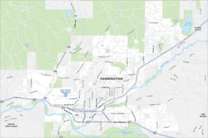
Map of Farmington, New Mexico
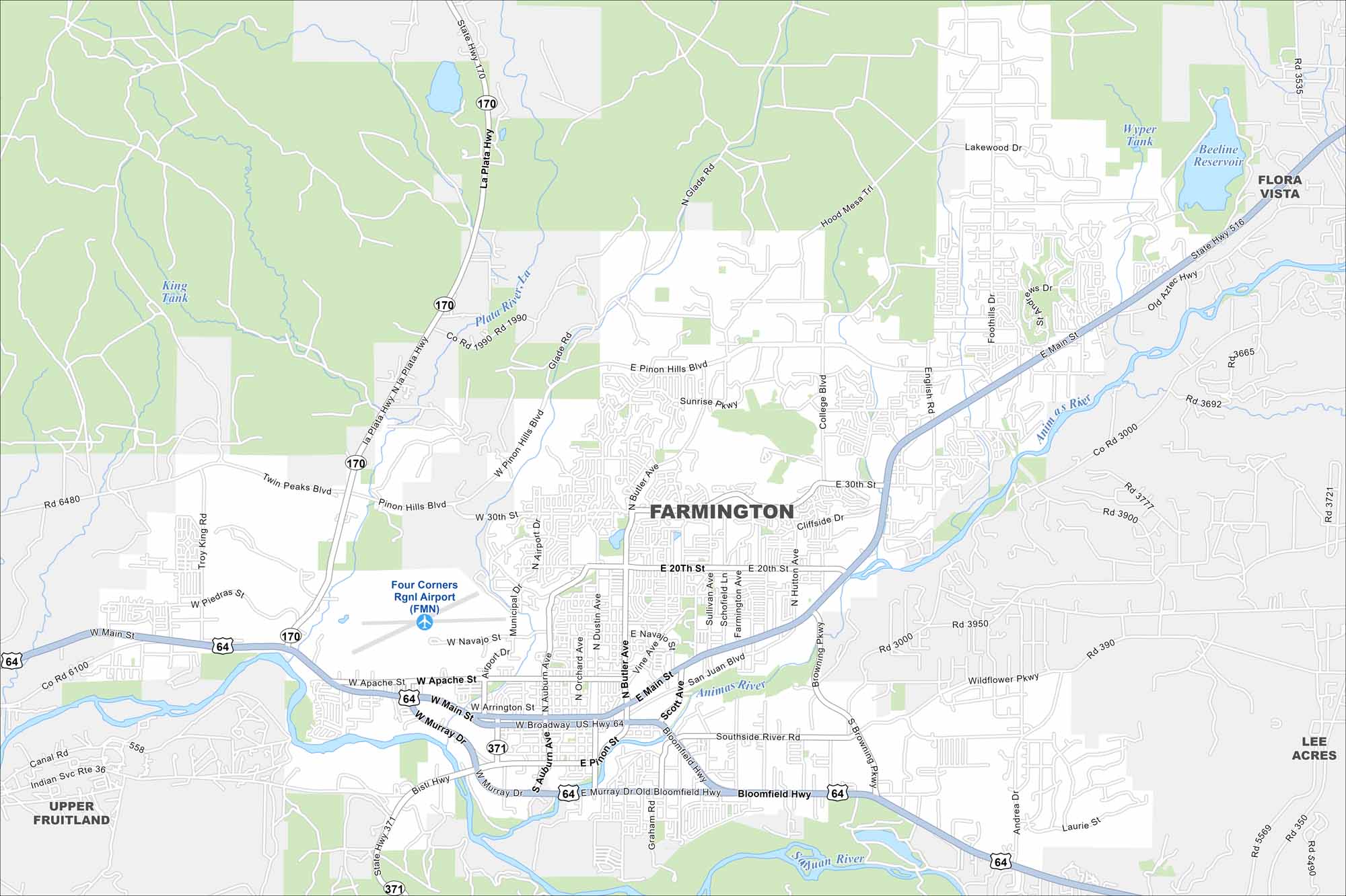
Farmington sits where the San Juan, Animas, and La Plata rivers meet. High desert terrain surrounds the city with mesas and open land. On our map, those river valleys really shape the town’s layout.
Map Information
On the Map
Interstates/Highways: US Hwy 64, US Hwy 550, State Rte 371, State Rte 170 Major Roads: Main St, Broadway Ave, Murray Dr, Pinon Hills Blvd, 20th St, 30th St, Butler Ave, Dustin Ave, Airport Dr, Sullivan Ave, Browning Pkwy, Bloomfield Hwy, Scott Ave, Apache St, Navajo St, Arrington St, La Plata Hwy, Glade Rd, English Rd, College Blvd Airports: Four Corners Rgnl Airport (FMN) Lakes and Reservoirs: Beeline Reservoir, Wyper Tank, King Tank Major Rivers: Animas River, San Juan River, La Plata River Nearby Communities: Upper Fruitland, Flora Vista, Lee AcresNew Mexico State Maps
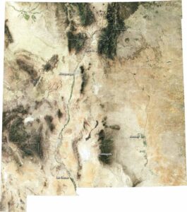
See maps across deserts, peaks, and towns of New Mexico.


City Maps of New Mexico
Traverse New Mexico with our city maps.