Map of Fulshear, Texas
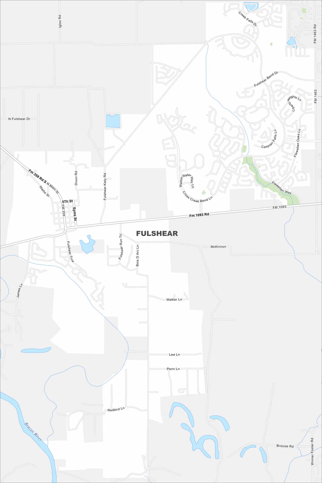
Our map of Fulshear shows a growing community west of Houston. The Brazos River curves nearby, with highways leading into open farmland. New neighborhoods mix with old ones.
Map Information
On the Map
Interstates/Highways: State Rte 359 Major Roads: Fulshear-Katy Rd, Main St, Wallis St, Syms St, McKinnon, Bois D Arc Ln, Fulshear Run Trl, Fulshear Bend Dr, Cross Creek Bend Ln, Flewellen Way, Walker Ln, Lea Ln, Penn Ln, Redbird Ln, Briscoe Rd, Winner Foster Rd, Igloo Rd, Dixon Rd Major Rivers: Brazos River Nearby Communities: FulshearTexas State Maps
Scan our maps of the massive southern state of Texas.


City Maps of Texas
Explore our map collection of Texas cities.


