Map of Glenwood Springs, Colorado
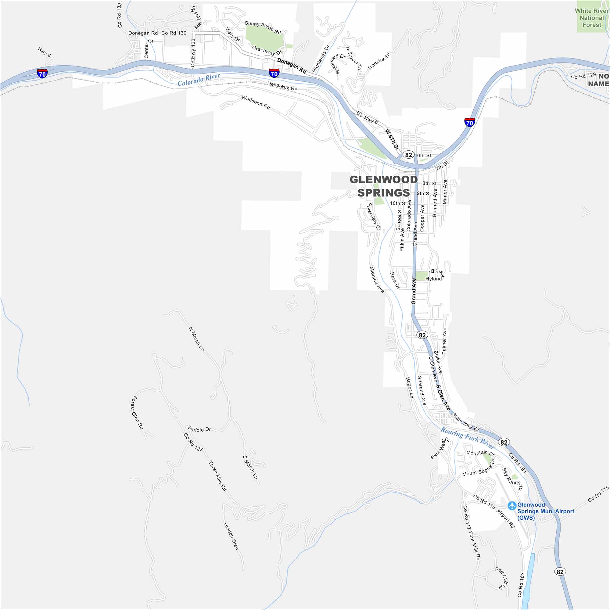
Our map of Glenwood Springs shows streets winding along the Colorado River. The city stands out because of its natural hot springs. Mountains surround it on nearly every side.
Colorado State Maps
Browse Colorado with our detailed state maps


Map Information
On the Map
Interstates/Highways: I-70, US Hwy 6, State Hwy 82 Major Roads: Grand Ave, Midland Ave, Glen Ave, 6th St, 7th St, 8th St, 9th St, 10th St, Donegan Rd, Devereux Rd, Transfer Trl, Traver Trl, Airport Rd, Four Mile Rd, Blake Ave, Bennett Ave, Cooper Ave, Pitkin Ave, School St, Colorado Ave Airports: Glenwood Springs Muni Airport (GWS) Major Rivers: Colorado River, Roaring Fork River Nearby Communities: White River National Forest, Two Rivers ParkColorado City Maps
Here are maps of Colorado’s urban areas


