Map of Granbury, Texas
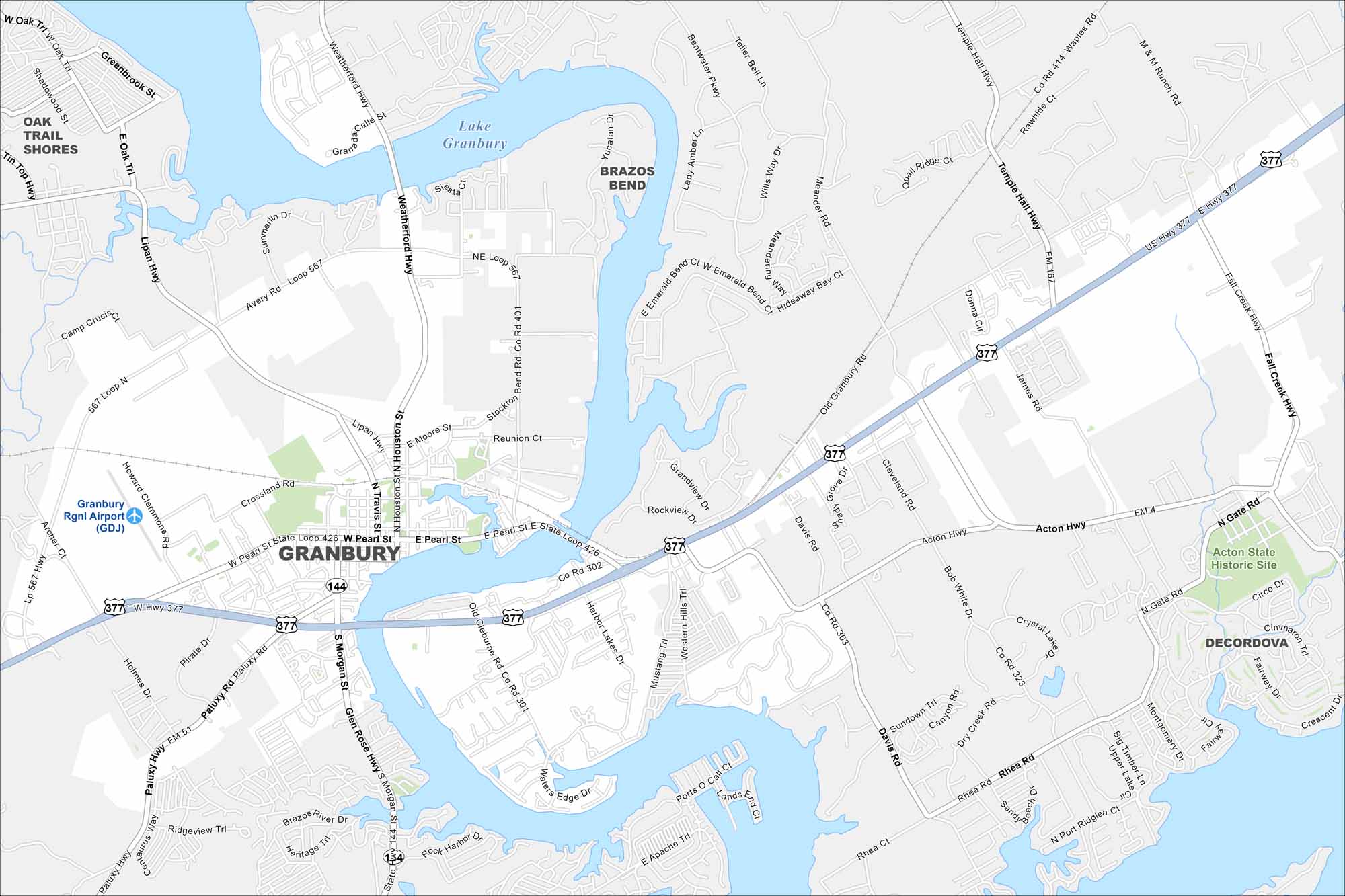
Granbury is a lakeside city in north-central Texas. Our map highlights Lake Granbury, local parks, and the town square. It’s known for its historic courthouse and lake.
Map Information
On the Map
Interstates/Highways: US Hwy 377, State Hwy 144, State Loop 426, State Loop 567 Major Roads: Pearl St, Morgan St, Weatherford Hwy, Paluxy Rd, Glen Rose Hwy, Cleburne Rd, Acton Hwy, Temple Hall Hwy, Fall Creek Hwy, Meander Rd, Old Granbury Rd, Davis Rd, Hill Blvd, James Rd, Reunion Ct, Stockton Bend Rd, Harbor Lakes Dr, Western Hills Trl, Ports O Call Ct, Apache Trl Airports: Granbury Rgnl Airport (GDJ) Lakes and Reservoirs: Lake Granbury Parks and Preserves: Acton State Historic Site Nearby Communities: Oak Trail Shores, Brazos Bend, DeCordovaTexas State Maps
Scan our maps of the massive southern state of Texas.


City Maps of Texas
Explore our map collection of Texas cities.


