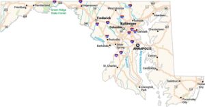
Map of Greenbelt, Maryland
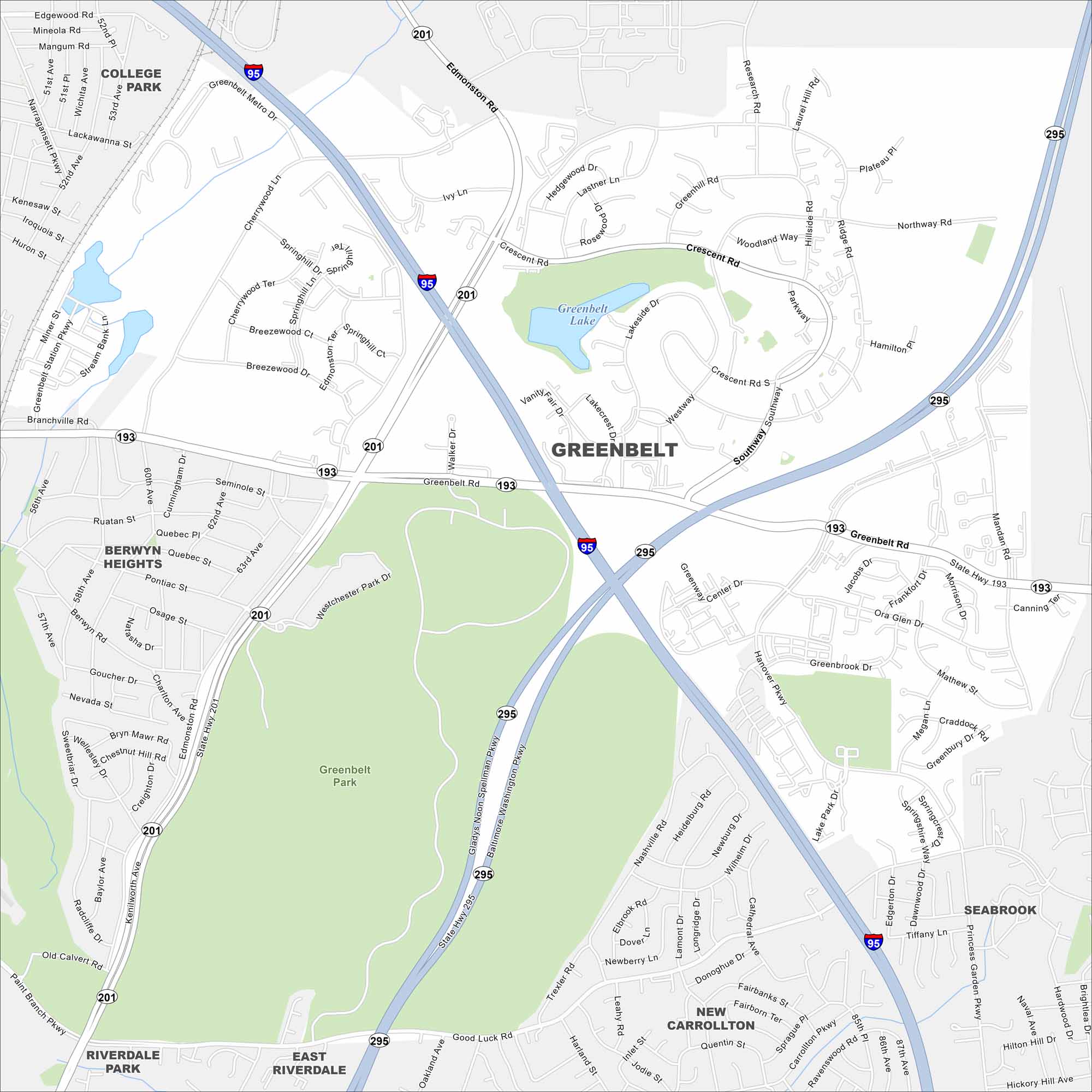
Greenbelt is just northeast of Washington, D.C. This map shows parkland and green space surrounding the community. Major highways loop through Prince George’s County.
Maryland State Maps
See the geography of Maryland with our state maps


Map Information
On the Map
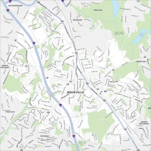
Interstates/Highways: I-95, I-295, State Hwy 193, State Hwy 201 Major Roads: Greenbelt Rd, Kenilworth Ave, Edmonston Rd, Baltimore Washington Pkwy, Cherrywood Ln, Breezewood Dr, Crescent Rd, Ridge Rd, Ivy Ln, Lastner Ln, Lakeside Dr, Plateau Pl, Hanover Pkwy, Mandan Rd, Frankfort Dr, Good Luck Rd, Princess Garden Pkwy, Cipriano Rd, Ora Glen Dr, Lake Park Dr Lakes and Reservoirs: Greenbelt Lake Parks and Preserves: Greenbelt Park Nearby Communities: College Park, Berwyn Heights, Seabrook, New Carrollton, East Riverdale, Riverdale ParkCity Maps of Maryland
Here are our city maps of Maryland