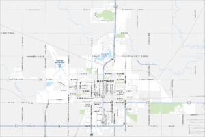
Map of Hastings, Nebraska
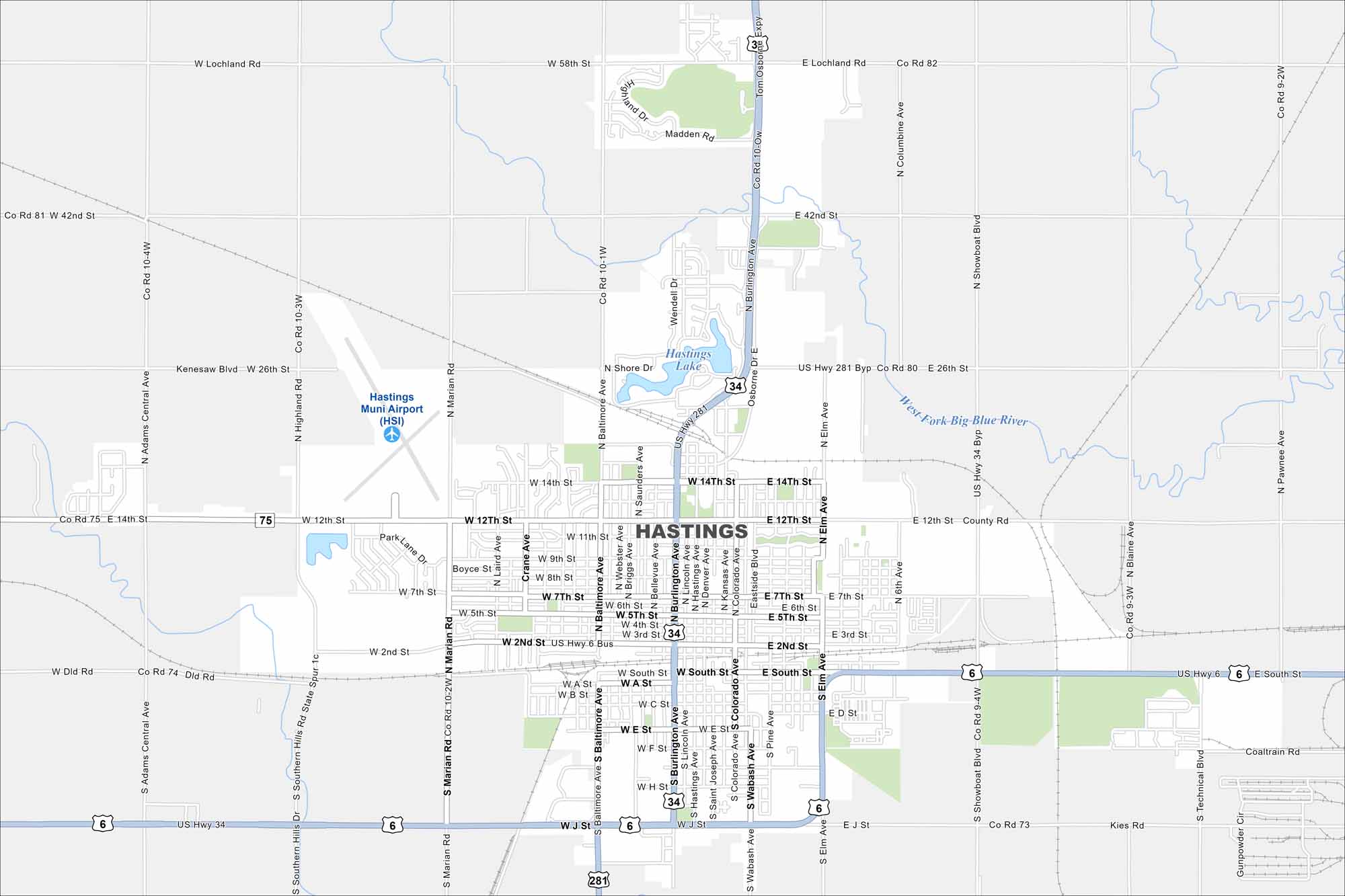
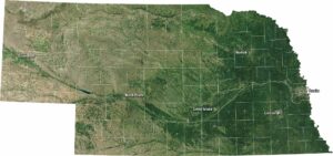
Our map of Hastings shows a city on the flat plains of south central Nebraska. Railroad lines are easy to spot cutting across town. Because of its location, agriculture dominates the surrounding landscape.
Map Information
On the Map
Interstates/Highways: US Hwy 281, US Hwy 34, US Hwy 6 Major Roads: Burlington Ave, Baltimore Ave, Elm Ave, Showboat Blvd, 42nd St, 26th St, 14th St, 12th St, 9th St, 7th St, 2nd St, South St, J St, Lochland Rd, Madden Rd, Adams Central Ave, Highland Rd, Marian Rd, Technical Blvd, Gunpowder Cir Airports: Hastings Muni Airport (HSI) Lakes and Reservoirs: Hastings Lake Major Rivers: West Fork Big Blue RiverNebraska State Maps
Examine maps showing prairies and cities in Nebraska.


City Maps of Nebraska
Nebraska city maps are here