Map of Horizon City, Texas
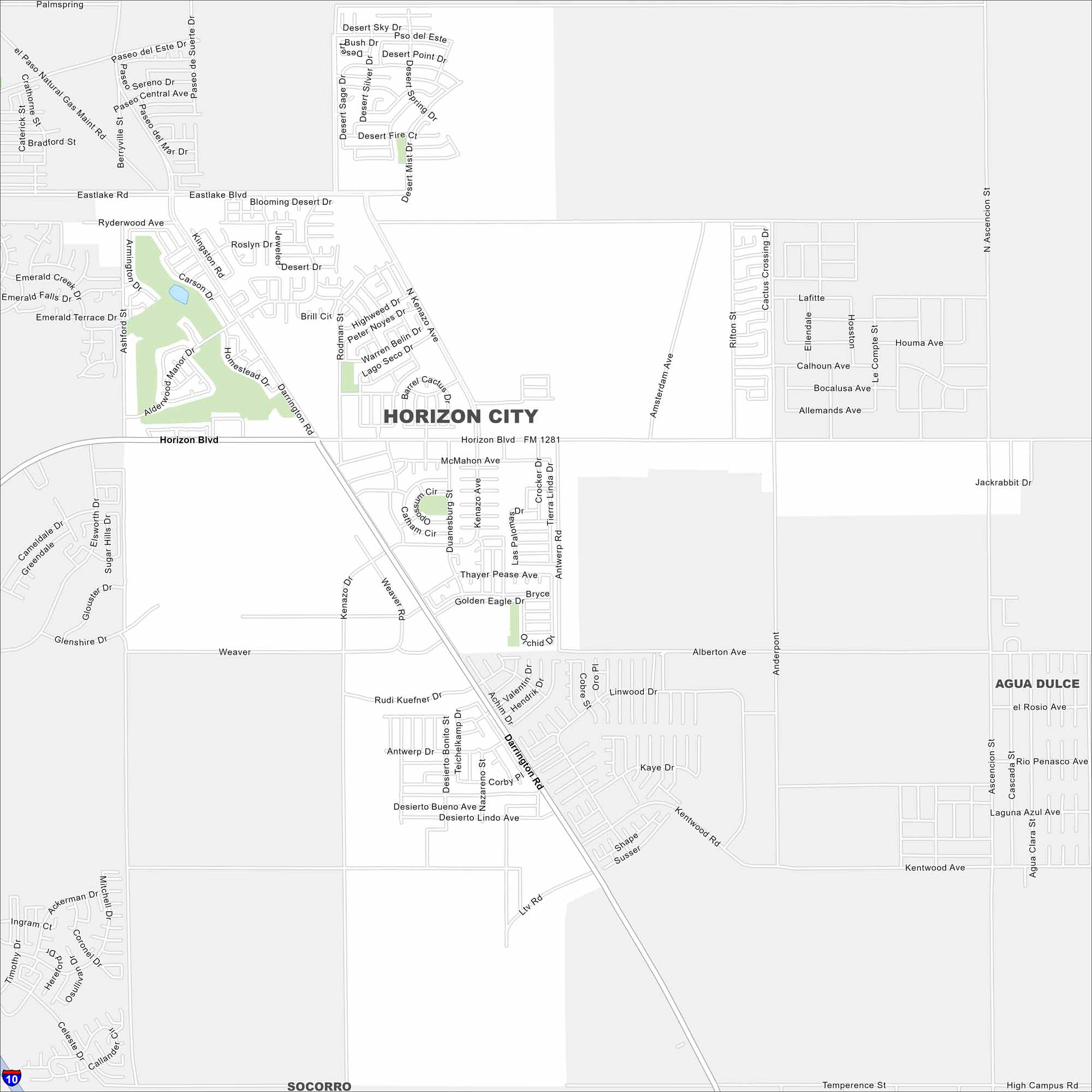
Our map of Horizon City highlights its wide grid east of El Paso. New housing developments are easy to spot. Major routes cut through the desert landscape.
Map Information
On the Map
Interstates/Highways: I-10 Major Roads: Horizon Blvd, Darrington Rd, Eastlake Blvd, Ashford Dr, Rodman St, Kenazo Ave, McMahon Ave, Antwerp Dr, Weaver Rd, Desert Sage Dr, Desert Sky Dr, Pawnee Dr, Southwell Dr, Ascension St, Kenazo Ave, Cactus Crossing Dr, High Campus Rd, Temperence St Nearby Communities: Socorro, Agua DulceTexas State Maps
Scan our maps of the massive southern state of Texas.


City Maps of Texas
Explore our map collection of Texas cities.


