Map of Hutto, Texas
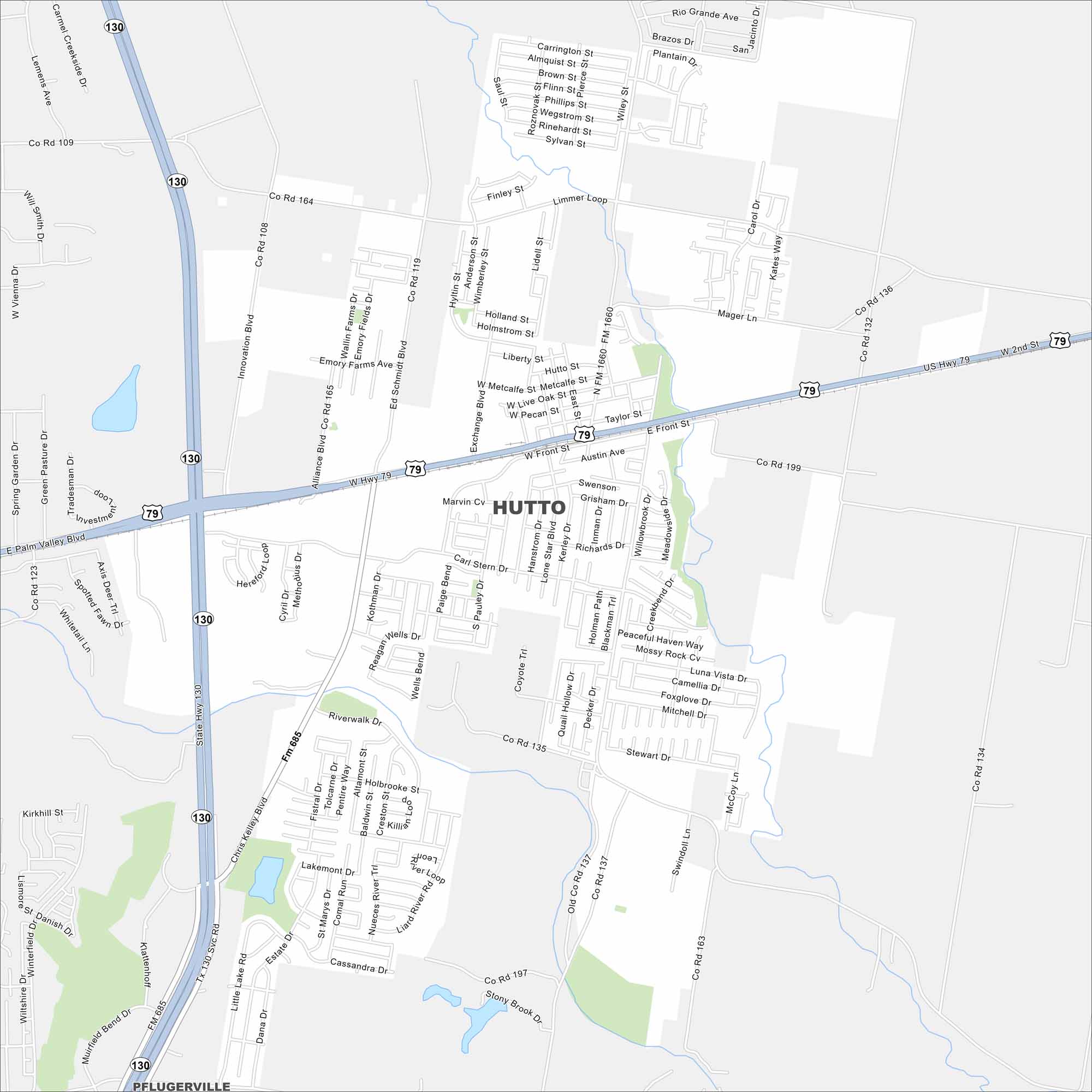
Hutto lies just northeast of Austin. This map shows residential areas expanding outward. Rail lines and highways link it back to the metro area.
Map Information
On the Map
Interstates/Highways: US Hwy 79, State Hwy 130 Major Roads: Front St, FM 1660, FM 685, Chris Kelley Blvd, Limmer Loop, Ed Schmidt Blvd, Innovation Blvd, Mager Ln, Exchange Blvd, Carl Stern Dr, Wells Blvd, Riverwalk Dr, Lakemont Dr, Pecan St, Live Oak St, Metcalfe St, Co Rd 199, Co Rd 135, Co Rd 134, Co Rd 164 Nearby Communities: PflugervilleTexas State Maps
Scan our maps of the massive southern state of Texas.


City Maps of Texas
Explore our map collection of Texas cities.


