Map of Indianola, Iowa
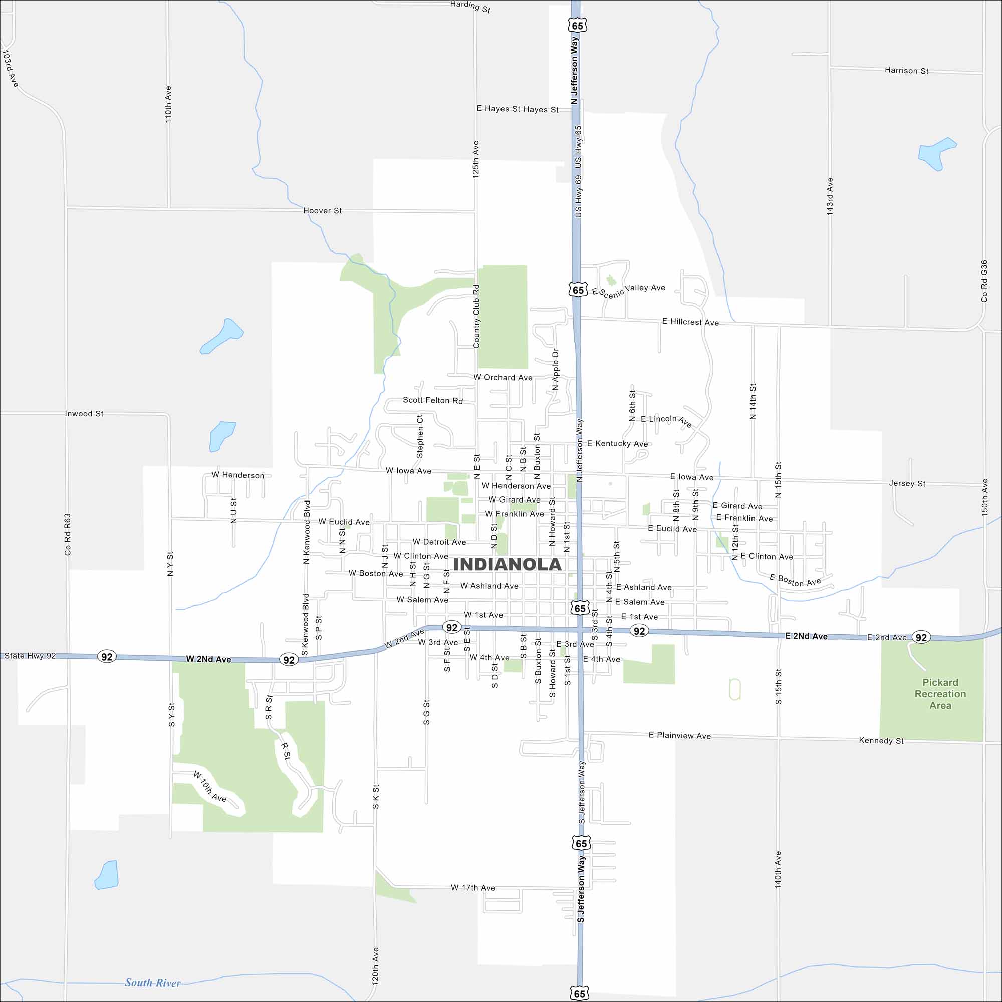
Our map of Indianola shows its highways, roads, streams and green spaces. Its position is south of Des Moines. Simpson College stands at the center. Roads travel outward into farmland.


Map Information
On the Map
Interstates/Highways: US Hwy 65, US Hwy 69, State Rte 92 Major Roads: Jefferson Way, 2nd Ave, 1st Ave, Salem Ave, Ashland Ave, Clinton Ave, Euclid Ave, Iowa Ave, Henderson Ave, Orchard Ave, Hillcrest Ave, Hayes St, Boston Ave, 17th Ave, 14th St, 15th St, 9th St, 1st St, E 2nd Ave, W 2nd Ave Major Rivers: South River Parks and Preserves: Pickard Recreation AreaIowa City Maps
Browse city maps in the state of Iowa


