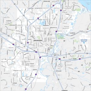
Map of Jackson, Mississippi
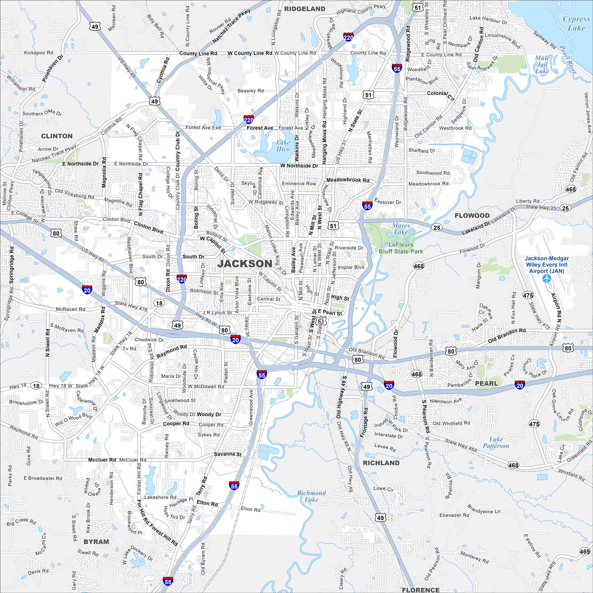
Jackson, Mississippi is centered on the Pearl River. Our map shows highways circling the city and its network of roads. State government buildings stand near the river.
Map Information
On the Map
Interstates/Highways: I-55, I-20, I-220, US Hwy 49, US Hwy 80, US Hwy 51, State Hwy 18, State Hwy 25, State Hwy 475, State Hwy 468 Major Roads: State St, Northside Dr, Meadowbrook Rd, Woodrow Wilson Ave, Capitol St, Robinson Rd, Raymond Rd, McDowell Rd, Cooper Rd, Forest Hill Rd, Ellis Ave, Terry Rd, Gallatin St, High St, Fortification St, Lakeland Dr, Old Brandon Rd, Flowood Dr, Pearson Rd, Whitfield Rd Airports: Jackson-Medgar Wiley Evers Intl Airport (JAN) Lakes and Reservoirs: Lake Hico, Mayes Lake, Lake Patterson, Richmond Lake Major Rivers: Pearl River Parks and Preserves: LeFleurs Bluff State Park Nearby Communities: Ridgeland, Clinton, Flowood, Pearl, Richland, Florence, ByramMississippi State Maps
Explore maps of Mississippi’s towns, rivers, and roads.


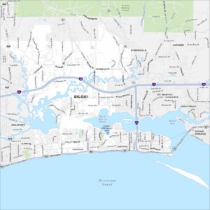
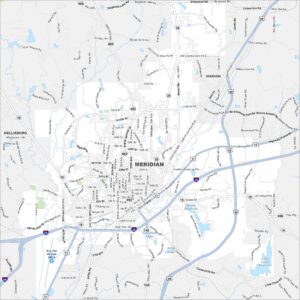
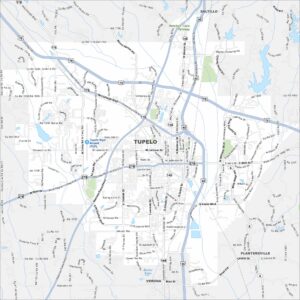
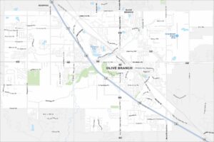
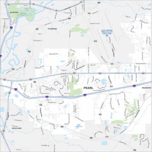
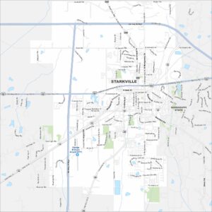
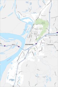
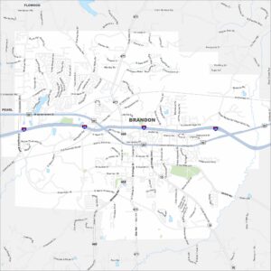
Mississippi City Maps
Discover Mississippi with our city maps