Map of Jonesboro, Arkansas
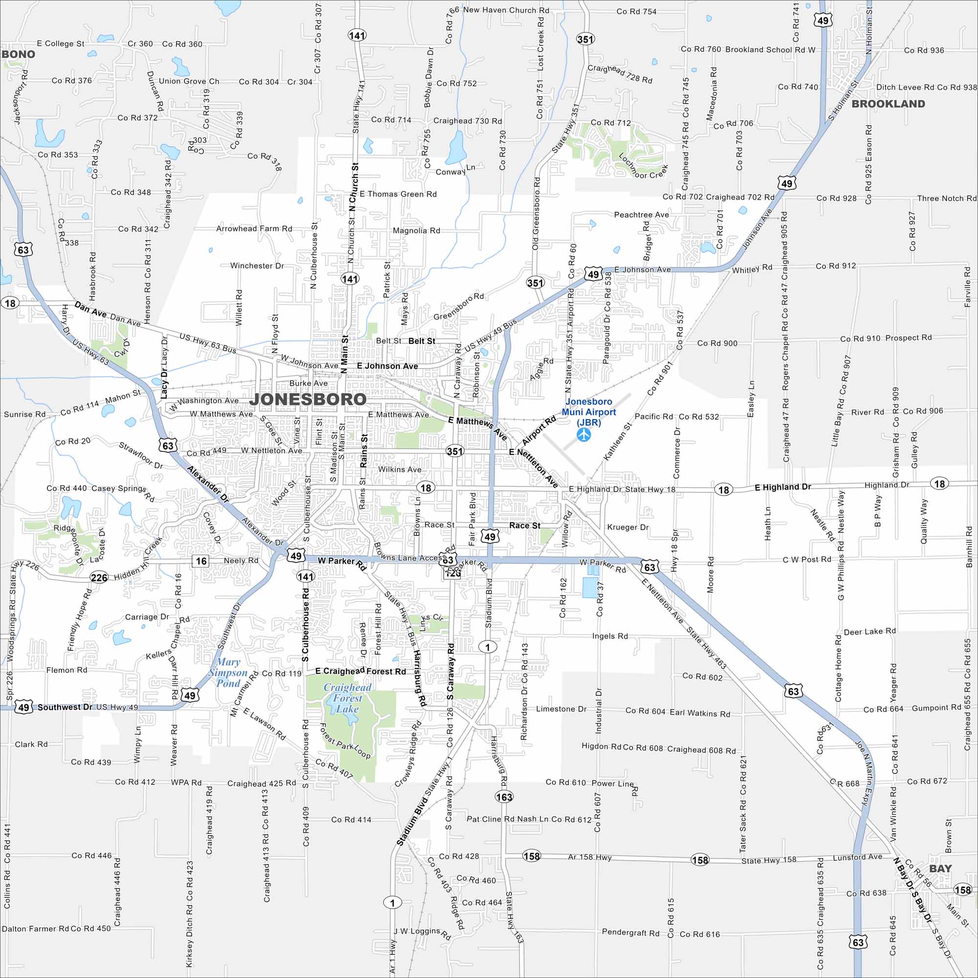
Our map of Jonesboro shows it spreading across Crowley’s Ridge. Highways extend out toward Memphis and Little Rock. The city center sits on slightly higher ground than the delta farmland around it.
Arkansas State Maps
Check out our Arkansas maps here


Map Information
On the Map
Interstates/Highways: I-49, US Hwy 63, US Hwy 49, State Hwy 18, State Hwy 1, State Hwy 141, State Hwy 351, State Hwy 226, State Hwy 163, State Hwy 158 Major Roads: Joe Martin Expy, Dan Ave, Johnson Ave, Matthews Ave, Nettleton Ave, Highland Dr, Parker Rd, Southwest Dr, Stadium Blvd, Caraway Rd, Harrisburg Rd, Main St, Church St, Culberhouse St, Greensboro Rd, Airport Rd, Commerce Dr, Race St, Wood St, Red Wolf Blvd Airports: Jonesboro Muni Airport (JBR) Lakes and Reservoirs: Craighead Forest Lake, Mary Simpson Pond Nearby Communities: Bono, Brookland, BayArkansas City Maps
Discover Arkansas through our city maps


