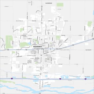
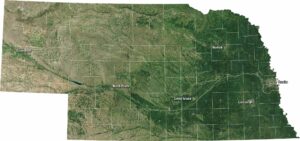
Map of Kearney, Nebraska
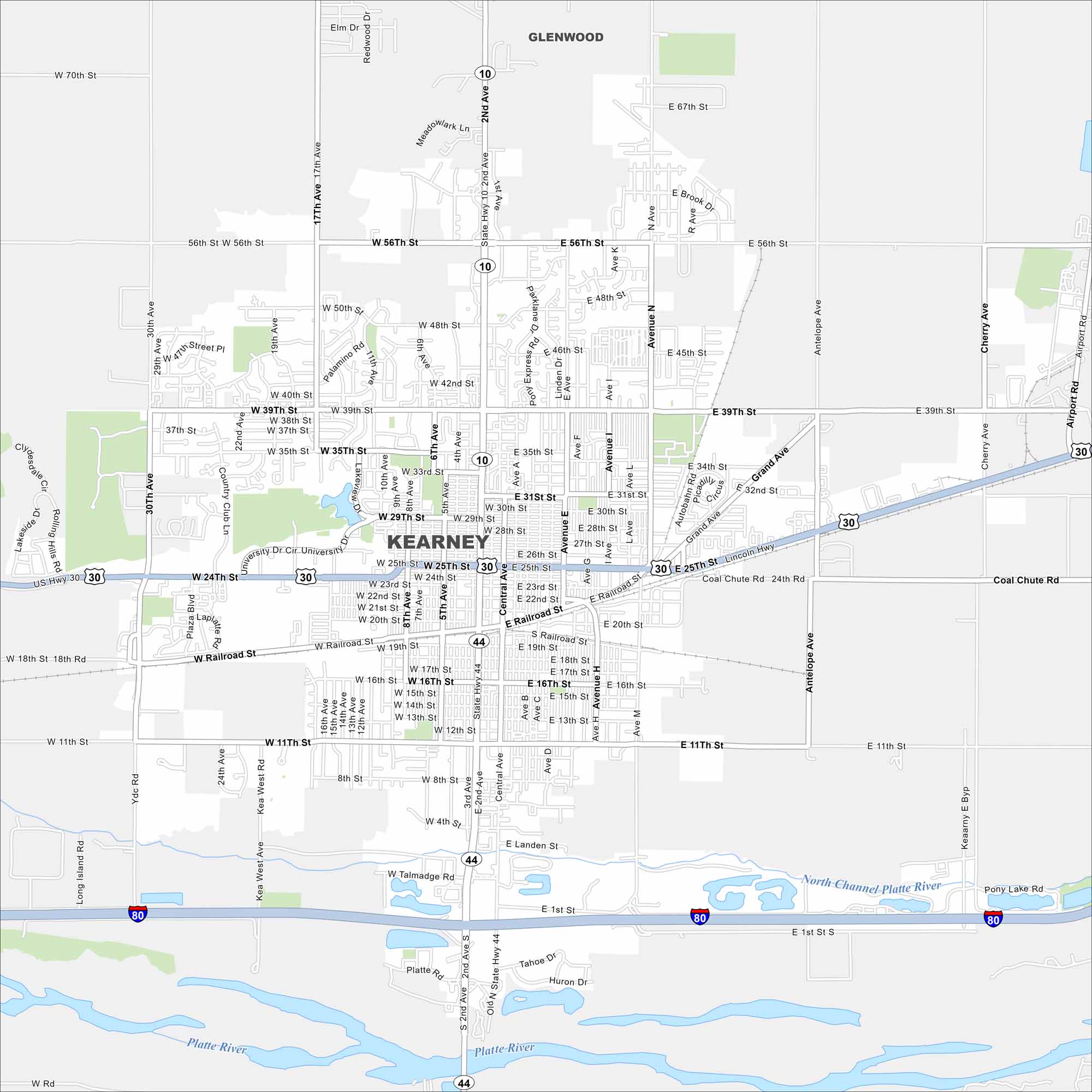
Kearney is set along the Platte River and sits in the middle of Nebraska’s plains. This map shows Interstate 80 running in the southern section. It also includes rivers, lakes, highways, roads and parks.
Map Information
On the Map
Interstates/Highways: I-80, US Hwy 30, State Rte 44, State Rte 10 Major Roads: 2nd Ave, Central Ave, Avenue N, Antelope Ave, 56th St, 39th St, 25th St, 11th St, 1st St, Railroad St, Talmadge Rd, Landen Rd, 30th Ave, 17th Ave, Country Club Ln, Kea West Ave, Cherry Ave, Airport Rd, Coal Chute Rd, 48th St Major Rivers: Platte River, North Channel Platte RiverNebraska State Maps
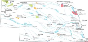
Examine maps showing prairies and cities in Nebraska.


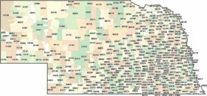
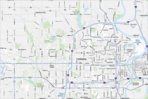
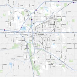
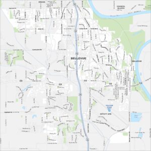
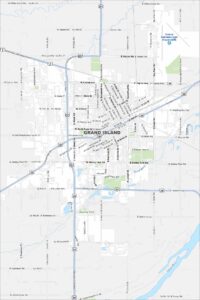
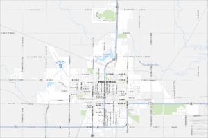
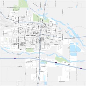
City Maps of Nebraska
Nebraska city maps are here