Map of Kingsville, Texas
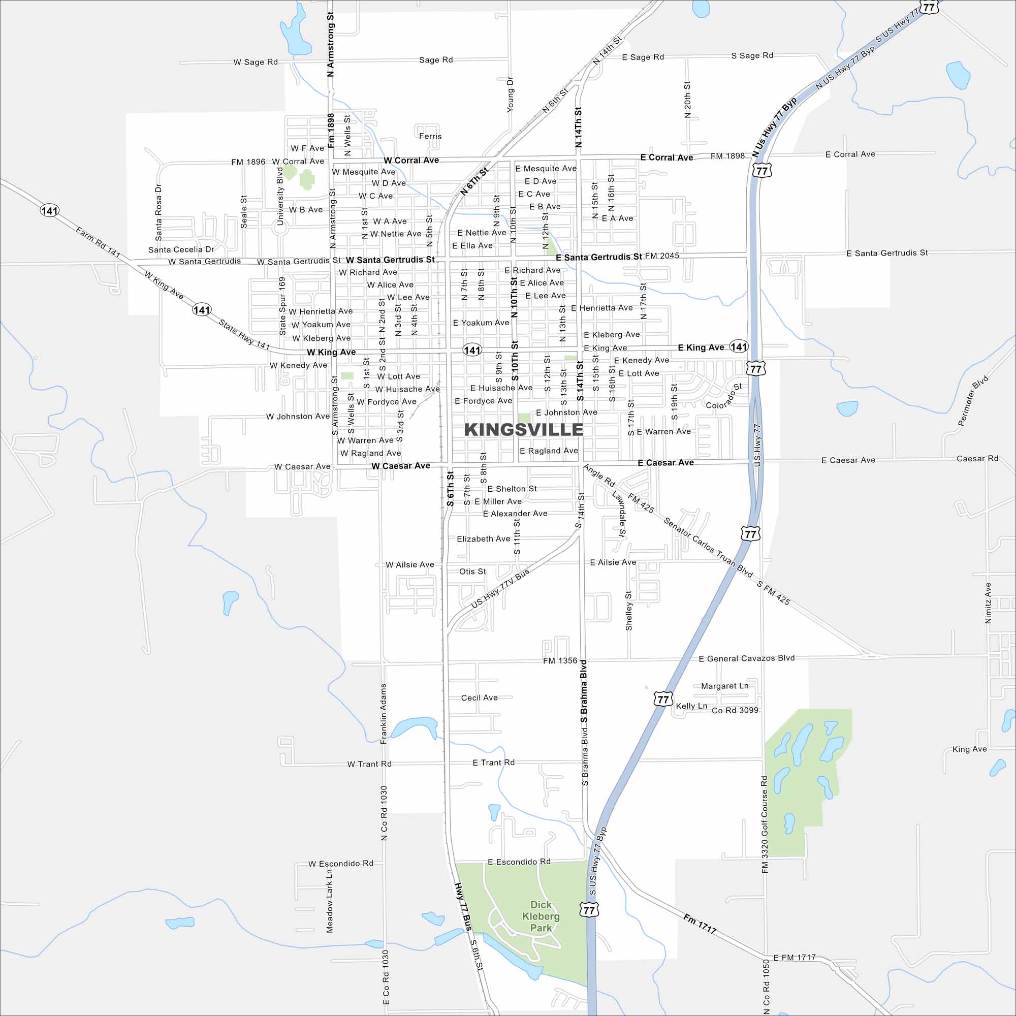
Our map of Kingsville shows its streets and open land around the city. It lies just west of the Gulf Coast with US Highway 77 cutting through. You can find Texas A&M University-Kingsville here too.
Map Information
On the Map
Interstates/Highways: US Hwy 77, State Rte 141 Major Roads: King Ave, Santa Gertrudis St, Caesar Ave, Brahma Blvd, Armstrong St, General Cavazos Blvd, Corral Ave, Mesquite Ave, Richard Ave, Kleberg Ave, Kenedy Ave, Lott Ave, Huisache Ave, Fordyce Ave, Johnston Ave, Ragland Ave, Ailsie St, Otis St, Elizabeth Ave, Alexander Ave Parks and Preserves: Dick Kleberg ParkTexas State Maps
Scan our maps of the massive southern state of Texas.


City Maps of Texas
Explore our map collection of Texas cities.


