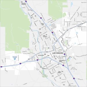
Map of Las Cruces, New Mexico
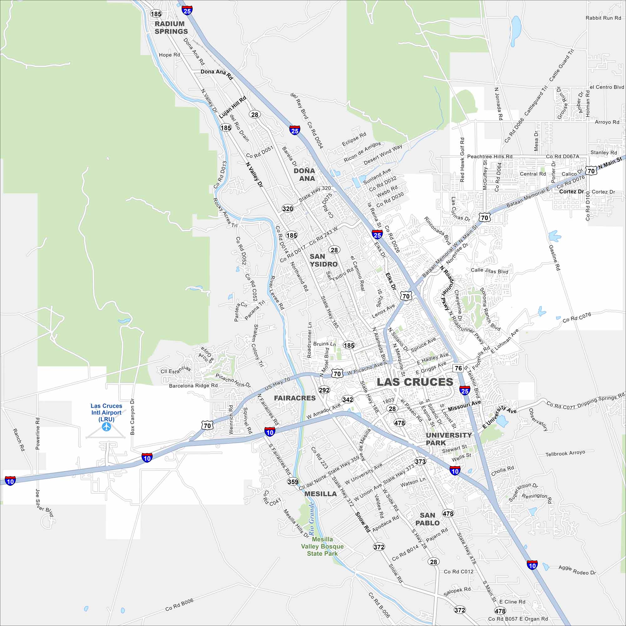
Our map of Las Cruces shows the city spread beneath the Organ Mountains. The Rio Grande winds past the west side. Interstate 10 and 25 both cut straight across.
Map Information
On the Map
Interstates/Highways: I-10, I-25, US Hwy 70, US Hwy 180, State Rte 28, State Rte 185, State Rte 320, State Rte 292, State Rte 478, State Rte 372, State Rte 373 Major Roads: Main St, Picacho Ave, Lohman Ave, El Paseo Rd, Valley Dr, University Ave, Amador Ave, Telshor Blvd, Roadrunner Pkwy, Solano Dr, Triviz Dr, Missouri Ave, Motel Blvd, Mesilla Hills Dr, Union Ave, Snow Rd, Stern Dr, Organ Rd, Bataan Memorial E, Bataan Memorial W Airports: Las Cruces Intl Airport (LRU) Major Rivers: Rio Grande Parks and Preserves: Mesilla Valley Bosque State Park Nearby Communities: Mesilla, University Park, San Pablo, Fairacres, Dona Ana, San Ysidro, Radium SpringsNew Mexico State Maps
See maps across deserts, peaks, and towns of New Mexico.


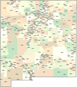
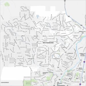
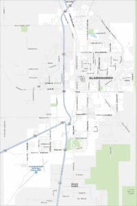
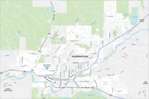
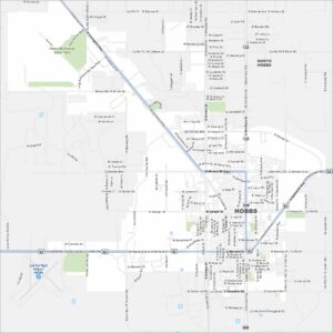
City Maps of New Mexico
Traverse New Mexico with our city maps.