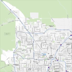
Map of Las Vegas, Nevada
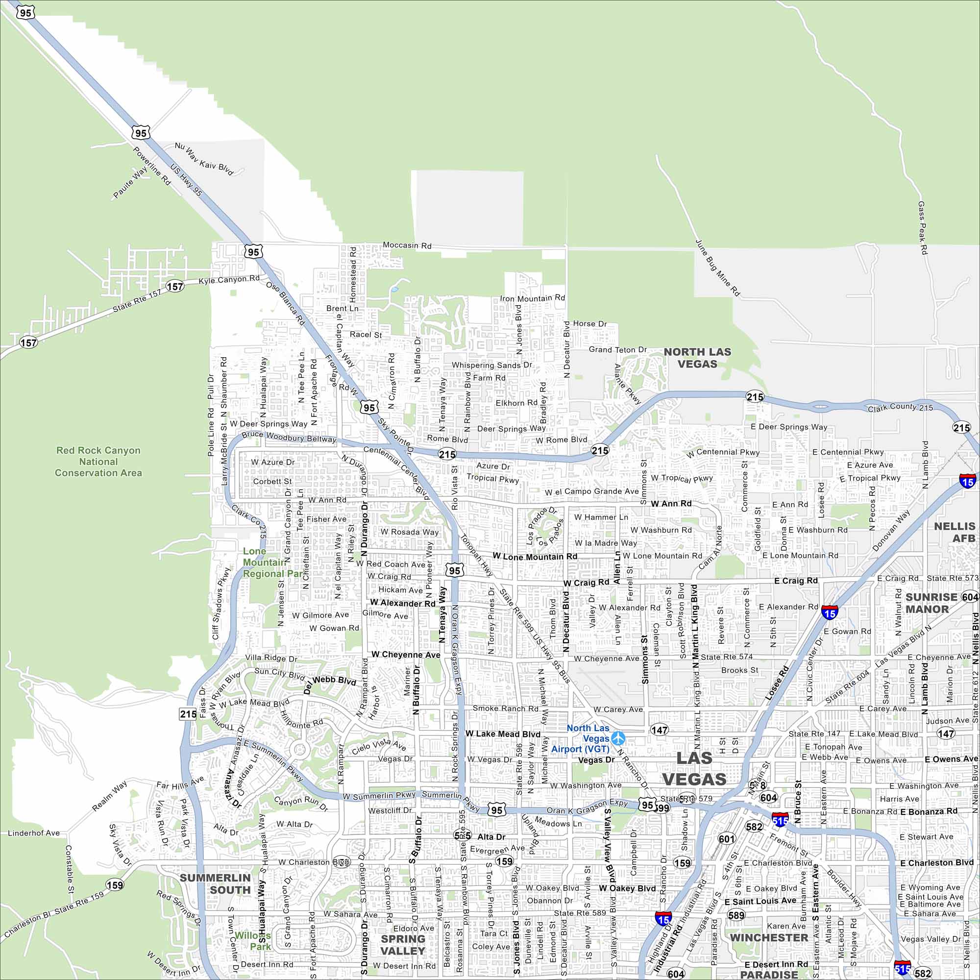
Sin City! Our map of Las Vegas shows the Strip cutting through the desert valley. Red Rock Canyon frames the city to the west. Neighborhoods spread outward toward the mountains.
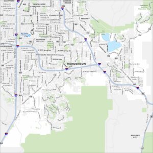
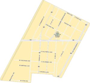
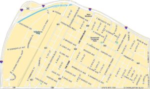
Las Vegas Neighborhood Maps
See our neighborhood maps for a closer look of the city.
Map Information
On the Map
Interstates/Highways: I-15, I-215, US Hwy 95, State Rte 157, State Rte 159, State Rte 573, State Rte 574, State Rte 579, State Rte 582, State Rte 589, State Rte 599, State Rte 604 Major Roads: Las Vegas Blvd, Charleston Blvd, Sahara Ave, Decatur Blvd, Rainbow Blvd, Jones Blvd, Valley View Blvd, Rancho Dr, Martin L King Blvd, Nellis Blvd, Lamb Blvd, Pecos Rd, Eastern Ave, Maryland Pkwy, Cheyenne Ave, Craig Rd, Lake Mead Blvd, Washington Ave, Bonanza Rd, Ann Rd Airports: North Las Vegas Airport (VGT) Lakes and Reservoirs: Major Rivers: Parks and Preserves: Red Rock Canyon National Conservation Area, Lone Mountain Regional Park, Willows Park Nearby Communities: North Las Vegas, Summerlin South, Spring Valley, Winchester, Paradise, Sunrise ManorNevada State Maps
Click on one of our maps of the Silver State.
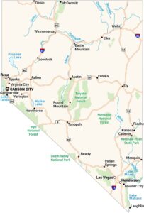


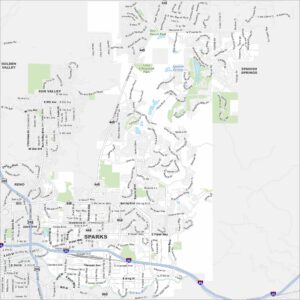
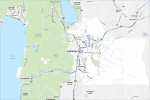
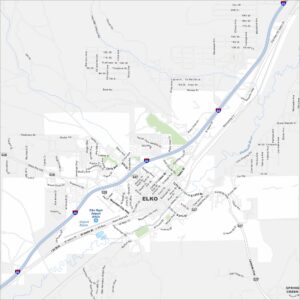
City Maps of Nevada
Explore cities in Nevada from desert to mountains