Map of Littleton, Colorado
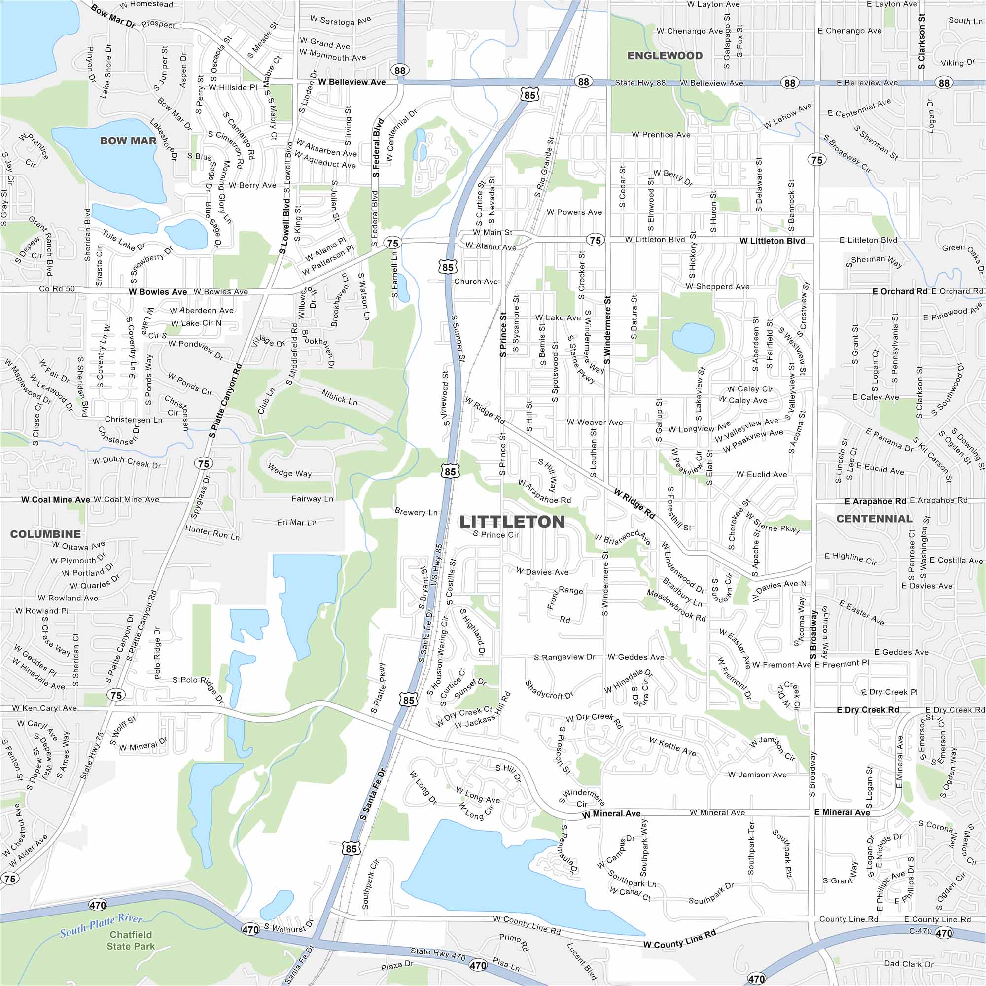
Littleton lies south of Denver along the South Platte River. Our map shows highways, railways, lakes and rivers. The Rockies rise just to the west.
Colorado State Maps
Browse Colorado with our detailed state maps


Map Information
On the Map
Interstates/Highways: US Hwy 85, State Hwy 470, State Hwy 75, State Hwy 88, State Hwy 121 Major Roads: Santa Fe Dr, Wadsworth Blvd, Belleview Ave, Bowles Ave, Mineral Ave, County Line Rd, Ken Caryl Ave, Coal Mine Ave, Arapahoe Rd, Dry Creek Rd, Broadway, Federal Blvd, Sheridan Blvd, Lowell Blvd, Pierce St, Kipling St, Platte Canyon Rd, Prince St, Datura St, Sterne Pkwy Lakes and Reservoirs: Chatfield Lake, Wolhurst Lake, Cooley Lake Major Rivers: South Platte River Parks and Preserves: Chatfield State Park, South Platte Park, Sterne Park, Progress Park Nearby Communities: Bow Mar, Columbine, Dakota Ridge, Englewood, Centennial, Highlands RanchColorado City Maps
Here are maps of Colorado’s urban areas


