Map of Longmont, Colorado
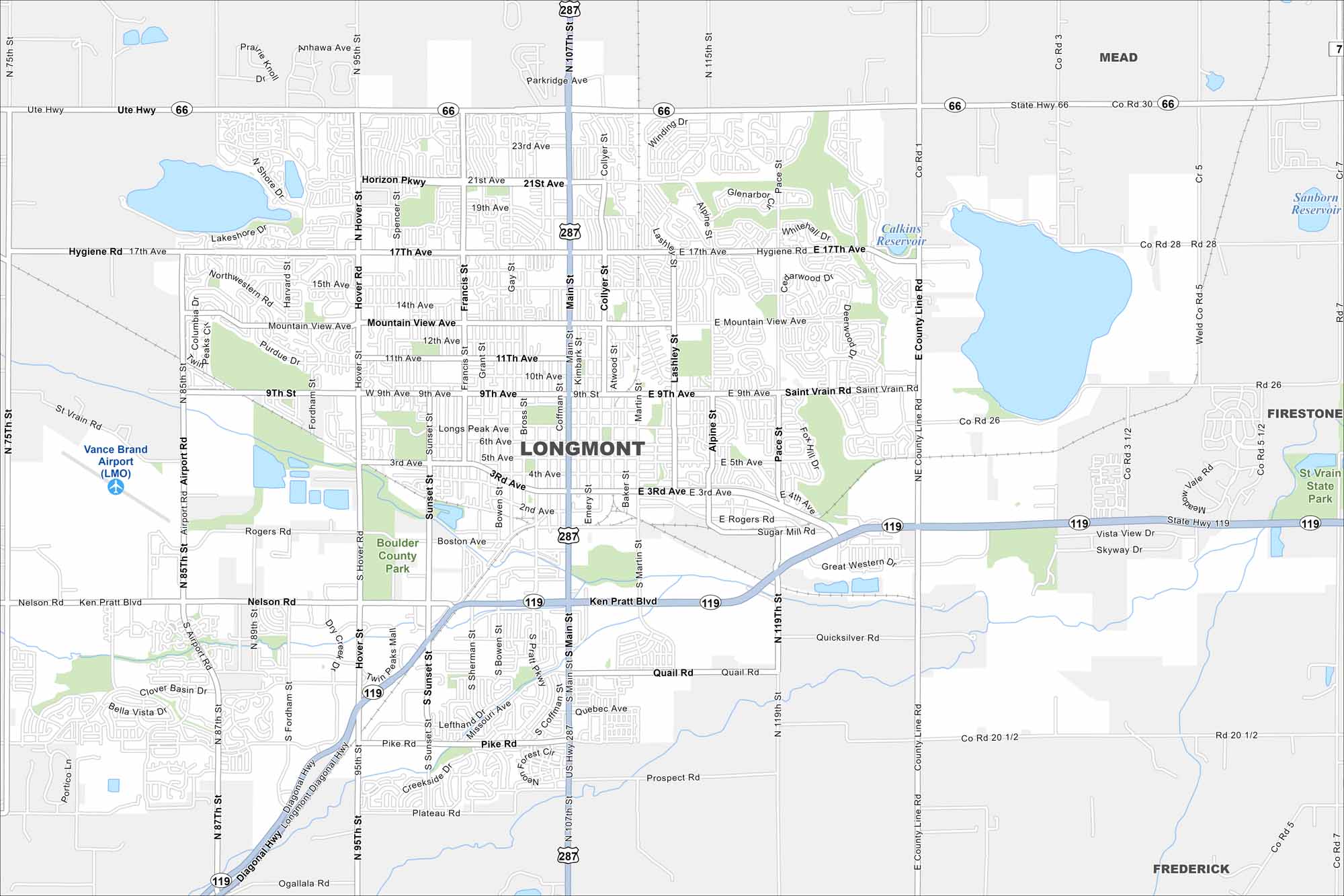
Longmont lies northeast of Boulder on the Front Range. Our map shows highways reaching out toward Denver and Fort Collins. The city is framed by lakes and farmland.
Colorado State Maps
Browse Colorado with our detailed state maps


Map Information
On the Map
Interstates/Highways: US Hwy 287, State Hwy 66, State Hwy 119 Major Roads: Main St, Ken Pratt Blvd, Hover St, Diagonal Hwy, Airport Rd, Nelson Rd, 9th St, Mountain View Ave, 21st Ave, 17th Ave, 3rd Ave, Pike Rd, Pace St, County Line Rd, 95th St, 75th St, Rogers Rd, Plateau Rd, Boston Ave, Sunset St Airports: Vance Brand Airport (LMO) Lakes and Reservoirs: Calkins Reservoir, Sanborn Reservoir Parks and Preserves: Boulder County Park, St Vrain State Park Nearby Communities: Mead, Firestone, Frederick, HygieneColorado City Maps
Here are maps of Colorado’s urban areas


