Map of Lufkin, Texas
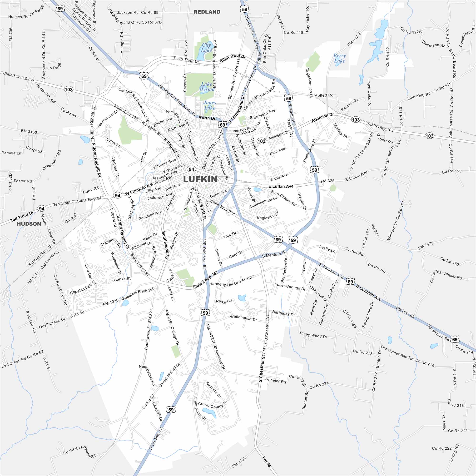
Explore Lufkin in deep East Texas. Forests surround the city, with highways cutting through toward Houston and Dallas. Our map shows its place near the Angelina River.
Map Information
On the Map
Interstates/Highways: US Hwy 59, US Hwy 69, State Hwy 94, State Hwy 103, State Loop 287 Major Roads: Lufkin Ave, Denman Ave, Frank Ave, Timberland Dr, Chestnut St, John Redditt Dr, Kurth Dr, Pershing Ave, Atkinson Dr, Brentwood Dr, Old Mill Rd, Whitehouse Dr, Tulane Dr, First St, Angelina St, Raguet St, Ellis Ave, Keltys St, Paul Ave, Wood Ave Lakes and Reservoirs: Lake Myriad, Jones Lake, City Lake, Ellen Trout Dr Lake, Berry Lake Nearby Communities: Redland, HudsonTexas State Maps
Scan our maps of the massive southern state of Texas.


City Maps of Texas
Explore our map collection of Texas cities.


