Map of Mankato, Minnesota
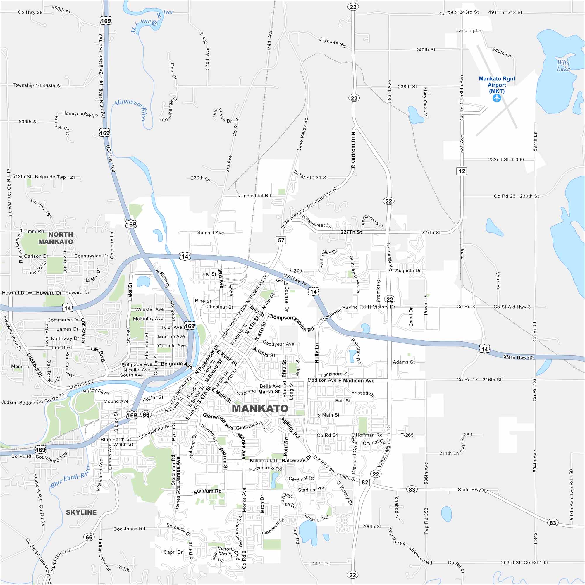
Our map of Mankato shows the Minnesota and Blue Earth Rivers meeting. Highways cross through the downtown and connect to nearby towns. Hills and farmland surround the city.
Map Information
On the Map
Interstates/Highways: US Hwy 169, US Hwy 14, State Rte 22, State Rte 60, State Rte 66, State Rte 83 Major Roads: Madison Ave, Riverfront Dr, Stadium Rd, Monks Ave, Victory Dr, Stoltzman Rd, Balcerzak Dr, 3rd Ave, Broad St, Main St, Belgrade Ave, Glenwood Ave, Hoffman Rd, 227th St, 230th St, Lookout Dr, Northway Dr, Carney Ave, Pohl Rd, Mary Oak Ln Airports: Mankato Rgnl Airport (MKT) Lakes and Reservoirs: Wita Lake Major Rivers: Minnesota River, Blue Earth River Nearby Communities: North Mankato, SkylineMinnesota State Maps
Explore every lake in our state maps of Minnesota


Minnesota City Maps
Browse through our city maps of Minnesota


