Map of Mansfield, Texas
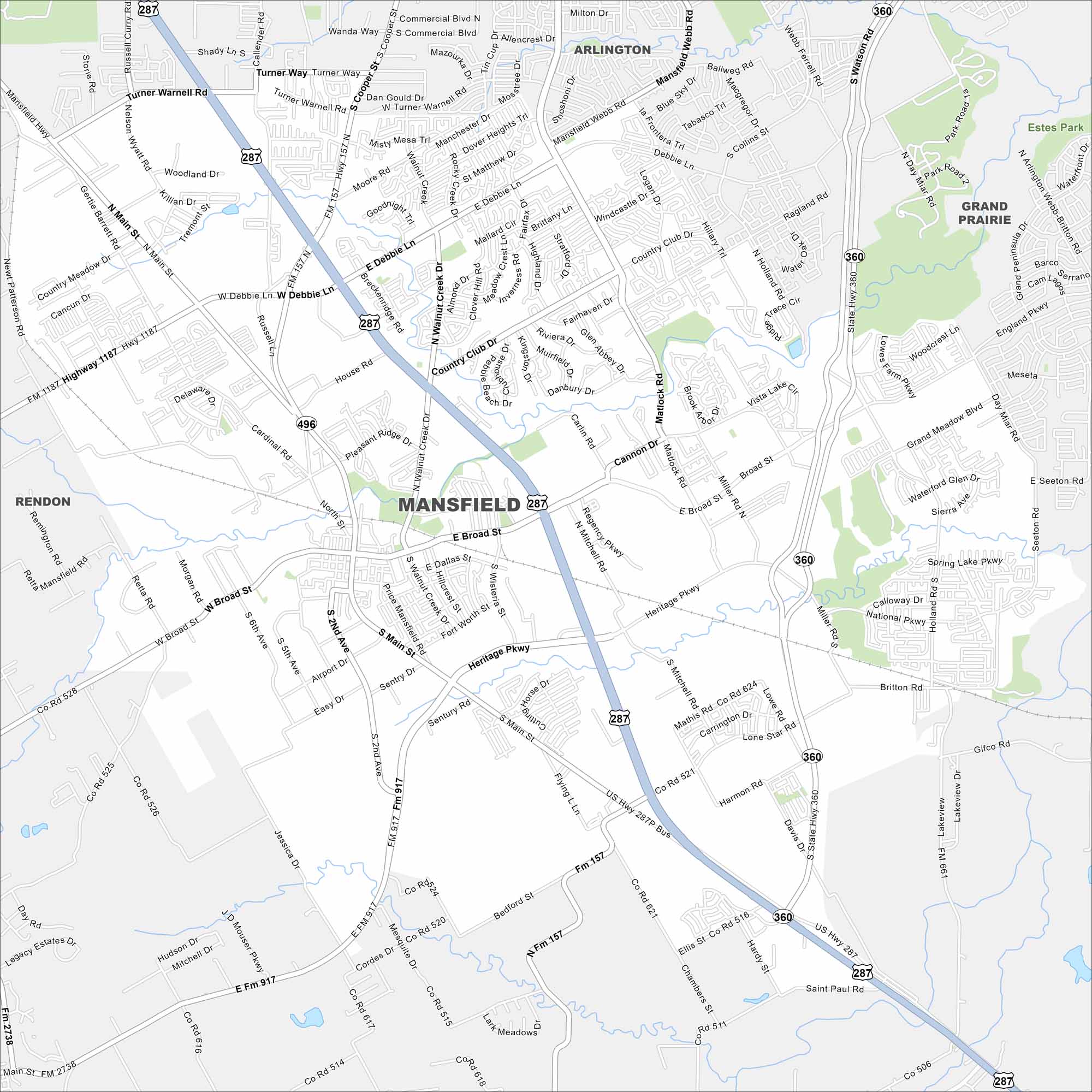
Check out Mansfield, Texas on our road map. Highways circle around the city, connecting residential areas and parks. It’s located south of Arlington, but growth stretches toward Fort Worth and Dallas.
Map Information
On the Map
Interstates/Highways: US Hwy 287, State Rte 360 Major Roads: Broad St, Debbie Ln, Turner Warnell Rd, Mouser Pkwy, Heritage Pkwy, Matlock Rd, Main St, Walnut Creek Dr, Holland Rd, Lone Star Rd, Mitchell Pkwy, Cannon Dr, Miller Rd, Day Miar Rd, Woodcrest Ln, Grand Meadow Blvd, Waterway Dr, Retta Mansfield Rd, Mid Cities Blvd, Cardinal Rd Nearby Communities: Arlington, Grand Prairie, Rendon, Venus, MidlothianTexas State Maps
Scan our maps of the massive southern state of Texas.


City Maps of Texas
Explore our map collection of Texas cities.


