Map of Marion, Iowa
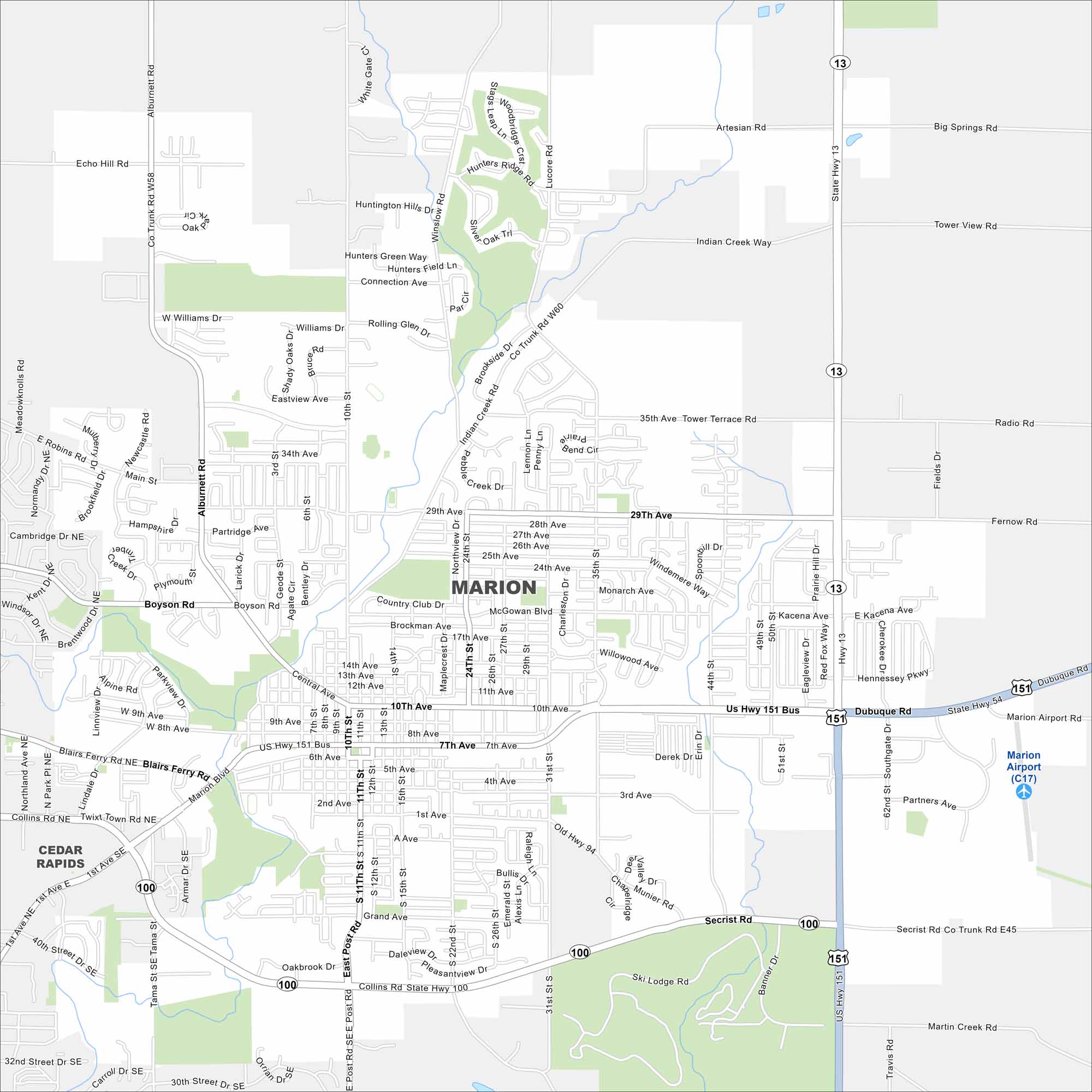
Check out Marion on our map. It’s situated northeast of Cedar Rapids. Highways cut across neighborhoods and parks within the city. Rolling farmland stretches just beyond its limits.


Map Information
On the Map
Interstates/Highways: US Hwy 151, US Hwy 151 Bus, State Rte 13, State Rte 100 Major Roads: 7th Ave, 10th Ave, 29th Ave, 35th Ave, Central Ave, Marion Blvd, Tower Terrace Rd, Alburnett Rd, 10th St, 15th St, 31st St, 35th St, 44th St, 1st Ave, Collins Rd, Twix Town Rd, Boyson Rd, Winslow Rd, Lucore Rd, Secrist Rd Airports: Marion Airport (C17) Nearby Communities: Cedar RapidsIowa City Maps
Browse city maps in the state of Iowa


