Map of Marlborough, Massachusetts
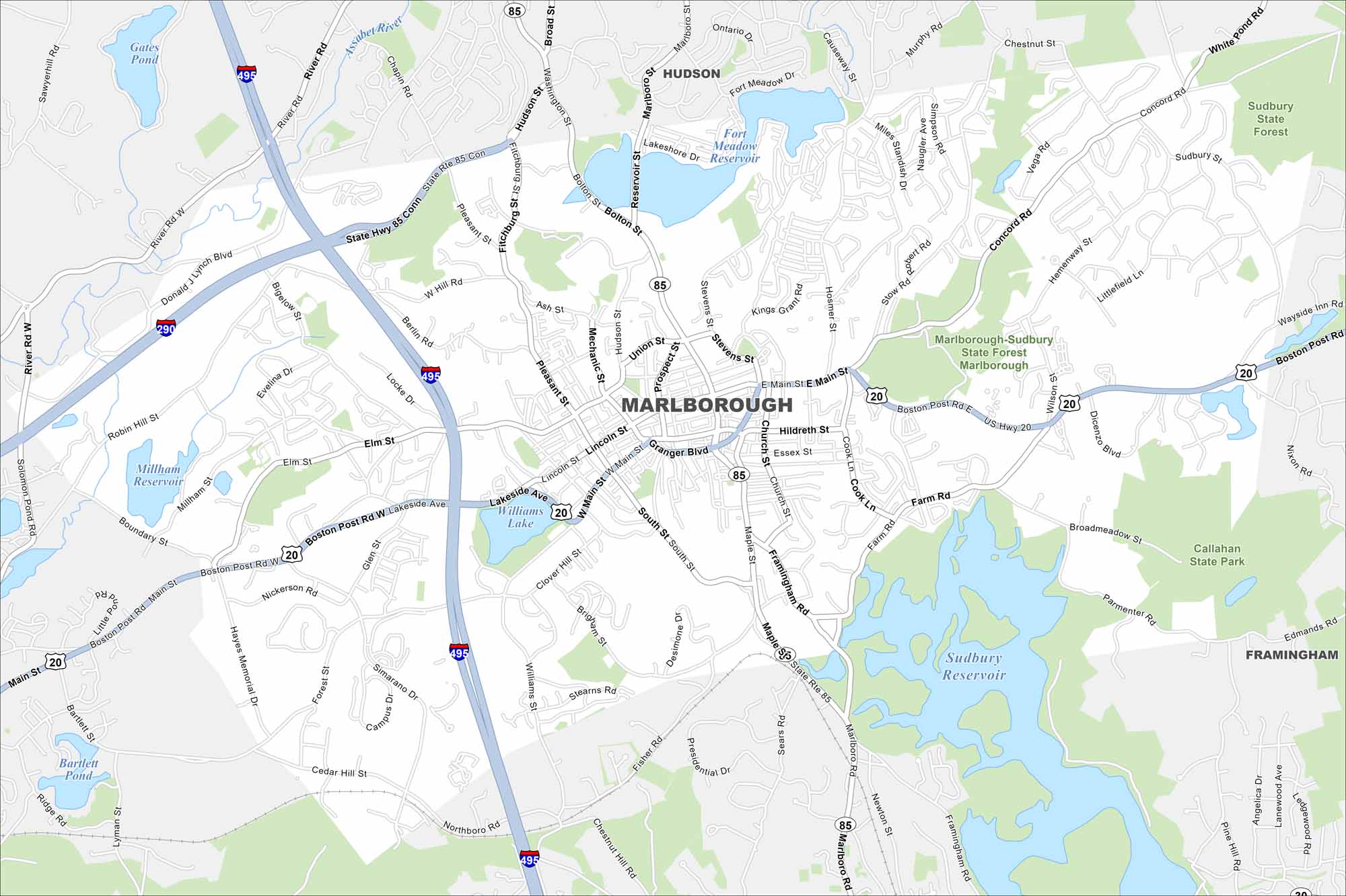
Discover Marlborough with our map. Interstate 495 crosses the city with lakes set along its edges. Its population spread out between the roadways.
Map Information
On the Map
Interstates/Highways: I-495, I-290, US Hwy 20, State Rte 85 Major Roads: Boston Post Rd, Main St, W Main St, E Main St, Granger Blvd, Williams St, Lakeside Ave, Pleasant St, Framingham Rd, Bolton St, Hudson St, Union St, Maple St, Forest St, Glen St, Donald J Lynch Blvd, Farm Rd, Simarano Dr, Cedar Hill St, Hayes Memorial Dr Lakes and Reservoirs: Williams Lake, Millham Reservoir, Fort Meadow Reservoir, Sudbury Reservoir, Bartlett Pond, Gates Pond Major Rivers: Assabet River Parks and Preserves: Marlborough-Sudbury State Forest Marlborough, Sudbury State Forest, Callahan State Park Nearby Communities: Hudson, FraminghamMassachusetts State Maps
Here’s our state maps of Massachusetts


City Maps of Massachusetts
Explore Boston and other urban areas in Massachusetts


