Map of Marshalltown, Iowa
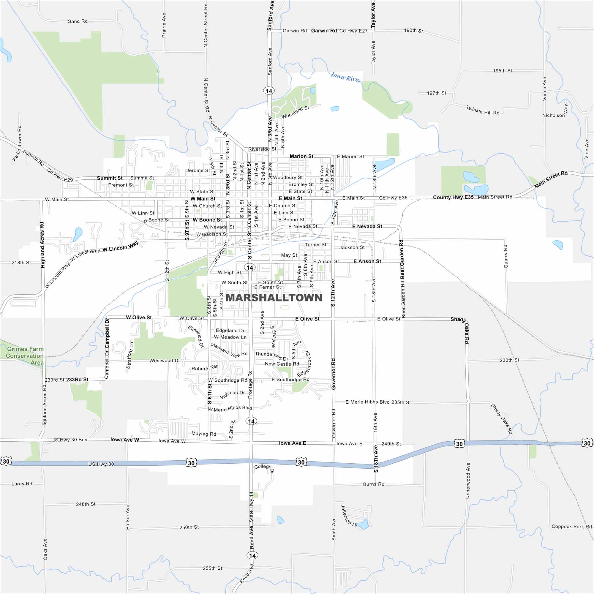
Our map of Marshalltown shows its spot in central Iowa. The downtown core, parks, and nearby farmland frame the city’s layout.


Map Information
On the Map
Interstates/Highways: US Hwy 30, State Rte 14 Major Roads: Main St, Olive St, Anson St, Center St, 3rd Ave, 12th Ave, 18th Ave, Lincoln Way, State St, Iowa Ave, Linn St, Boone St, Nevada St, Church St, Merle Hibbs Blvd, Governor Rd, 6th St, 9th St, Marion St, Madison St Major Rivers: Iowa River Parks and Preserves: Grimes Farm Conservation AreaIowa City Maps
Browse city maps in the state of Iowa


