Map of Moore, Oklahoma
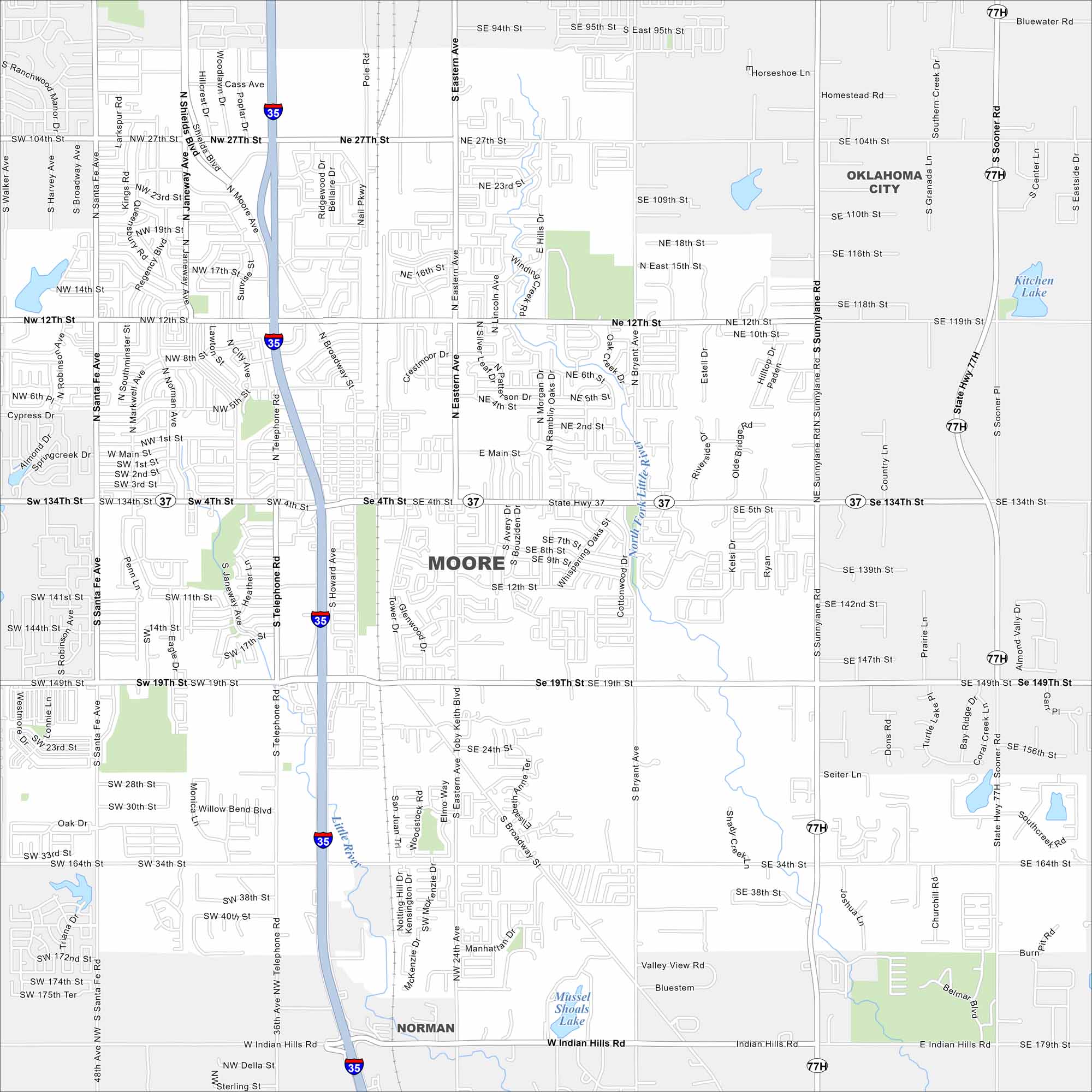
Check out Moore, Oklahoma with our road map. It fills the space between Oklahoma City and Norman, with major highways crossing through. This city in central Oklahoma is well known for its resilience after tornadoes.
Map Information
On the Map
Interstates/Highways: I-35, US Hwy 77, State Rte 37 Major Roads: 4th St, 19th St, 12th St, Telephone Rd, Eastern Ave, Sunnylane Rd, Santa Fe Ave, Broadway Ave, 27th St, Main St, 34th St, Indian Hills Rd, Janeway Ave, Shields Blvd, Bryant Ave, Sooner Rd, 89th St, 119th St, 134th St, 149th St Lakes and Reservoirs: Kitchen Lake, Mussel Shoals Lake Major Rivers: Little River, North Fork Little River Nearby Communities: Oklahoma City, NormanOklahoma State Maps
Here is our map collection of the Sooner State.


City Maps of Oklahoma
Explore Oklahoma’s cities with our maps


