Map of Morgantown, West Virginia
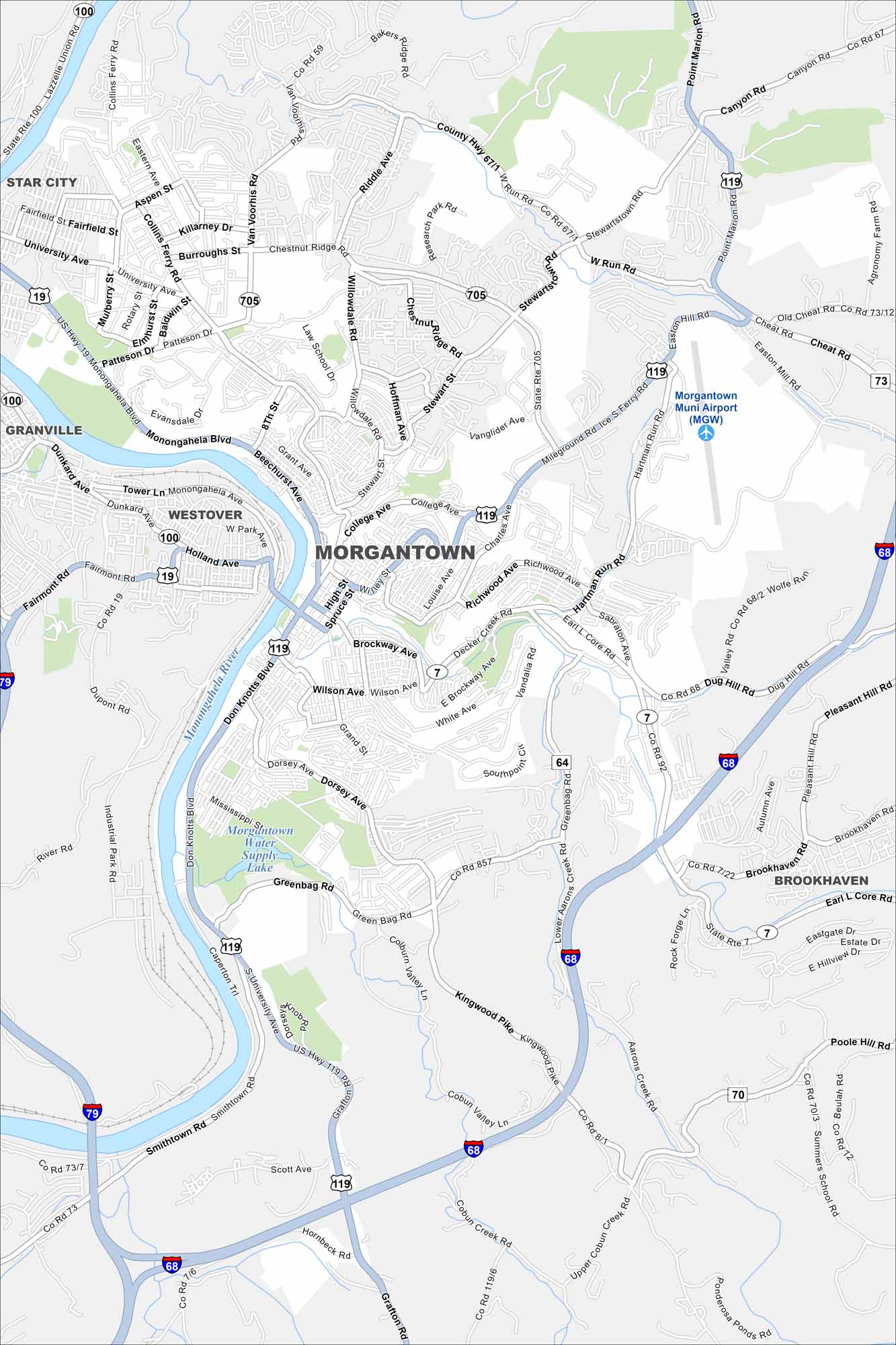
Our map of Morgantown shows the Monongahela River winding through town. West Virginia University dominates the landscape. Hills surrounding the city so it’s a mix of campus life and mountain scenery.
Map Information
On the Map
Interstates/Highways: I-68, I-79, US Hwy 19, US Hwy 119, State Rte 7, State Rte 70, State Rte 100, State Rte 705 Major Roads: Monongahela Blvd, University Ave, High St, Spruce St, Beechurst Ave, Don Knotts Blvd, Willey St, Brockway Ave, Richwood Ave, Greenbag Rd, Kingwood Pike, Collins Ferry Rd, Van Voorhis Rd, Chestnut Ridge Rd, Stewartstown Rd, Mileground Rd, Hartman Run Rd, Sabraton Ave, Smithtown Rd, Grafton Rd Airports: Morgantown Muni Airport (MGW) Lakes and Reservoirs: Morgantown Water Supply Lake Major Rivers: Monongahela River Nearby Communities: Star City, Granville, Westover, BrookhavenWest Virginia State Maps
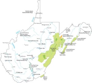
Browse our maps of the state of West Virginia.
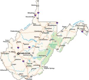


City Maps of West Virginia
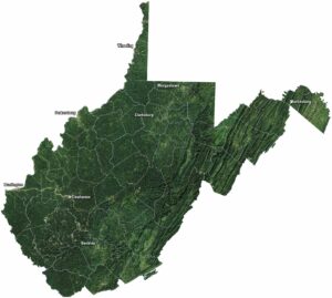
Explore the geography of West Virginia