Map of Nacogdoches, Texas
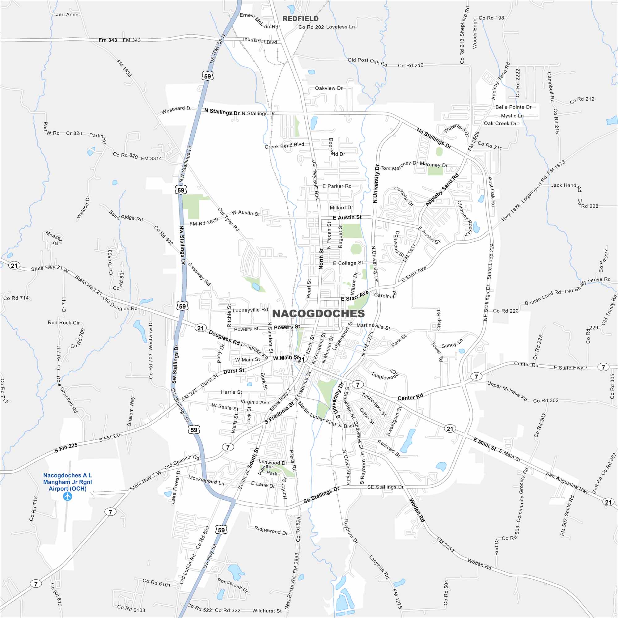
Nacogdoches is often called the oldest town in Texas. Our map shows its historic downtown, airport, waterways and highways. It’s located deep in East Texas.
Map Information
On the Map
Interstates/Highways: US Hwy 59, State Hwy 21, State Hwy 7 Major Roads: Stallings Dr, Main St, North St, University Dr, Austin St, Starr Ave, Fredonia St, South St, Park St, Appleby Sand Rd, Martinsville St, Douglass Rd, Durst St, Harris St, Seale St, Mockingbird Ln, Ridgeview Dr, Woden Rd, Logansport St, College St Airports: Nacogdoches A L Mangham Jr Rgnl Airport (OCH) Nearby Communities: RedfieldTexas State Maps
Scan our maps of the massive southern state of Texas.


City Maps of Texas
Explore our map collection of Texas cities.


