Map of Woodward, Oklahoma
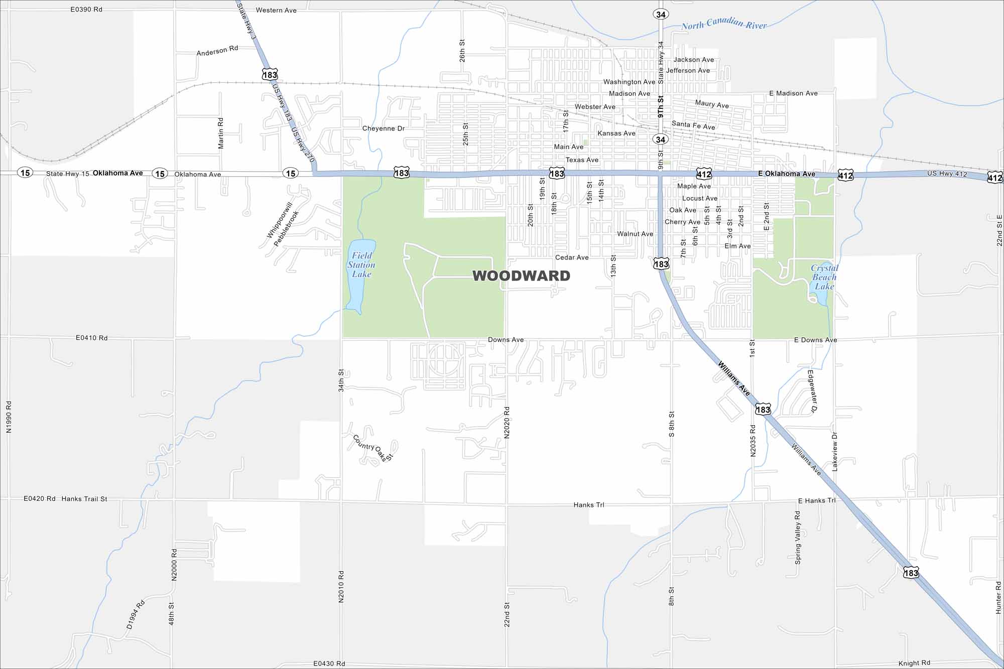
Here’s our map of Woodward, situated in northwestern Oklahoma. The city is a gateway to the Great Plains and outdoor recreation.
Map Information
On the Map
Interstates/Highways: US Hwy 183, US Hwy 270, US Hwy 412, State Rte 15, State Rte 34 Major Roads: Oklahoma Ave, Main Ave, 9th St, 8th St, 22nd St, 34th St, Downs Ave, Williams Ave, Webster Ave, Madison Ave, Santa Fe Ave, Texas Ave, Cedar Ave, Walnut Ave, Hanks Trl, Lakeview Dr, Western Ave, 13th St, 5th St, 1st St Lakes and Reservoirs: Crystal Beach Lake, Field Station Lake Major Rivers: North Canadian RiverOklahoma State Maps
Here is our map collection of the Sooner State.


City Maps of Oklahoma
Explore Oklahoma’s cities with our maps


