Map of New Hope, Minnesota
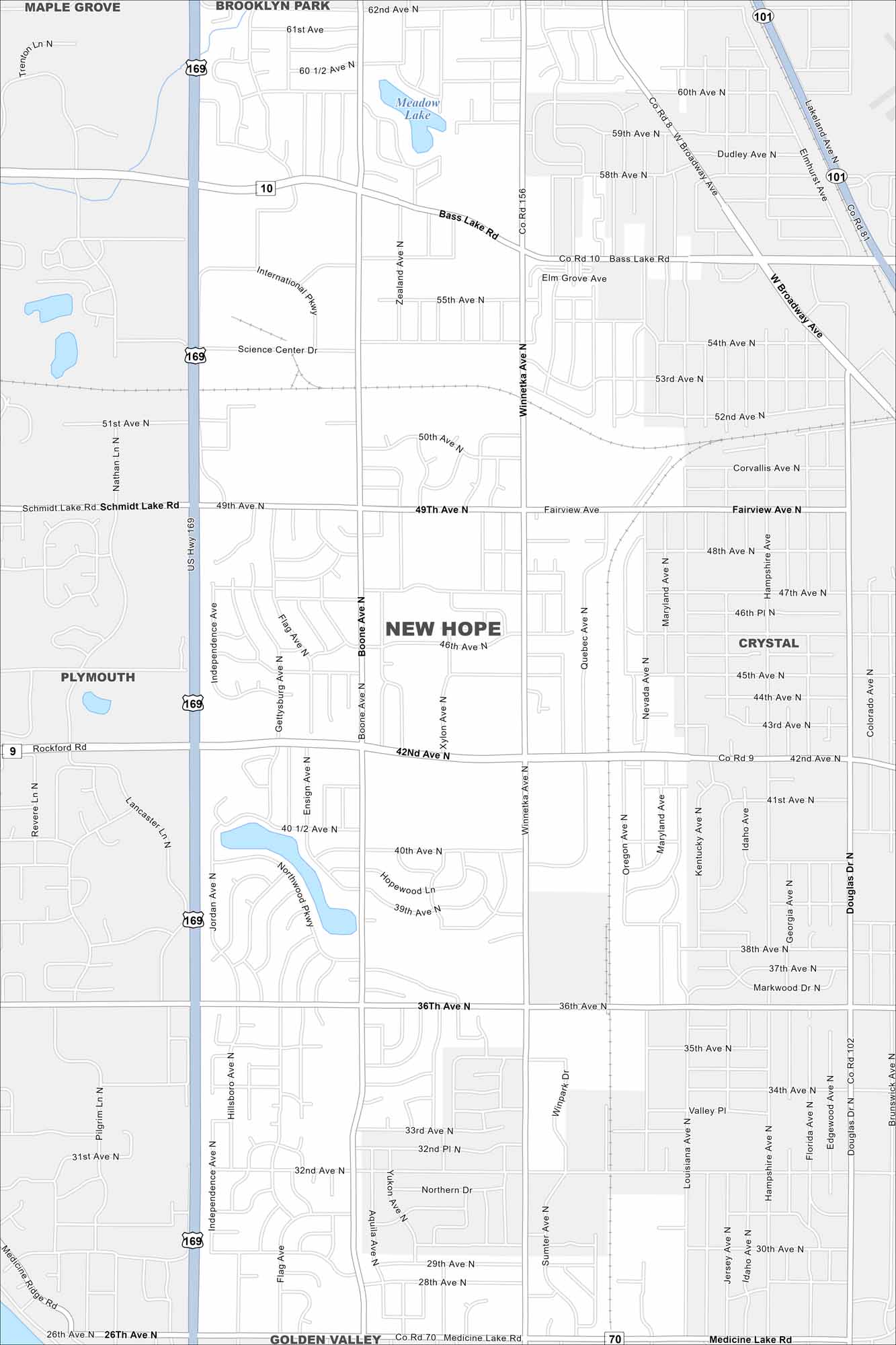
Our map of New Hope shows a suburban community northwest of Minneapolis. Residential neighborhoods and parks fill much of the layout. Highways link it easily to the Twin Cities.
Map Information
On the Map
Interstates/Highways: US Hwy 169, State Rte 101 Major Roads: Bass Lake Rd, 42nd Ave, 36th Ave, Winnetka Ave, Boone Ave, 49th Ave, 62nd Ave, 26th Ave, Medicine Lake Rd, Broadway Ave, Science Center Dr, Schmidt Lake Rd, 50th Ave, 55th Ave, Rockford Rd, International Pkwy, Xylon Ave, Jordan Ave, Independence Ave, Douglas Dr Lakes and Reservoirs: Meadow Lake Nearby Communities: Maple Grove, Brooklyn Park, Crystal, Plymouth, Golden ValleyMinnesota State Maps
Explore every lake in our state maps of Minnesota


Minnesota City Maps
Browse through our city maps of Minnesota


