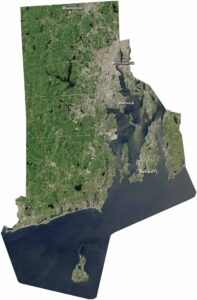
Map of Woonsocket, Rhode Island
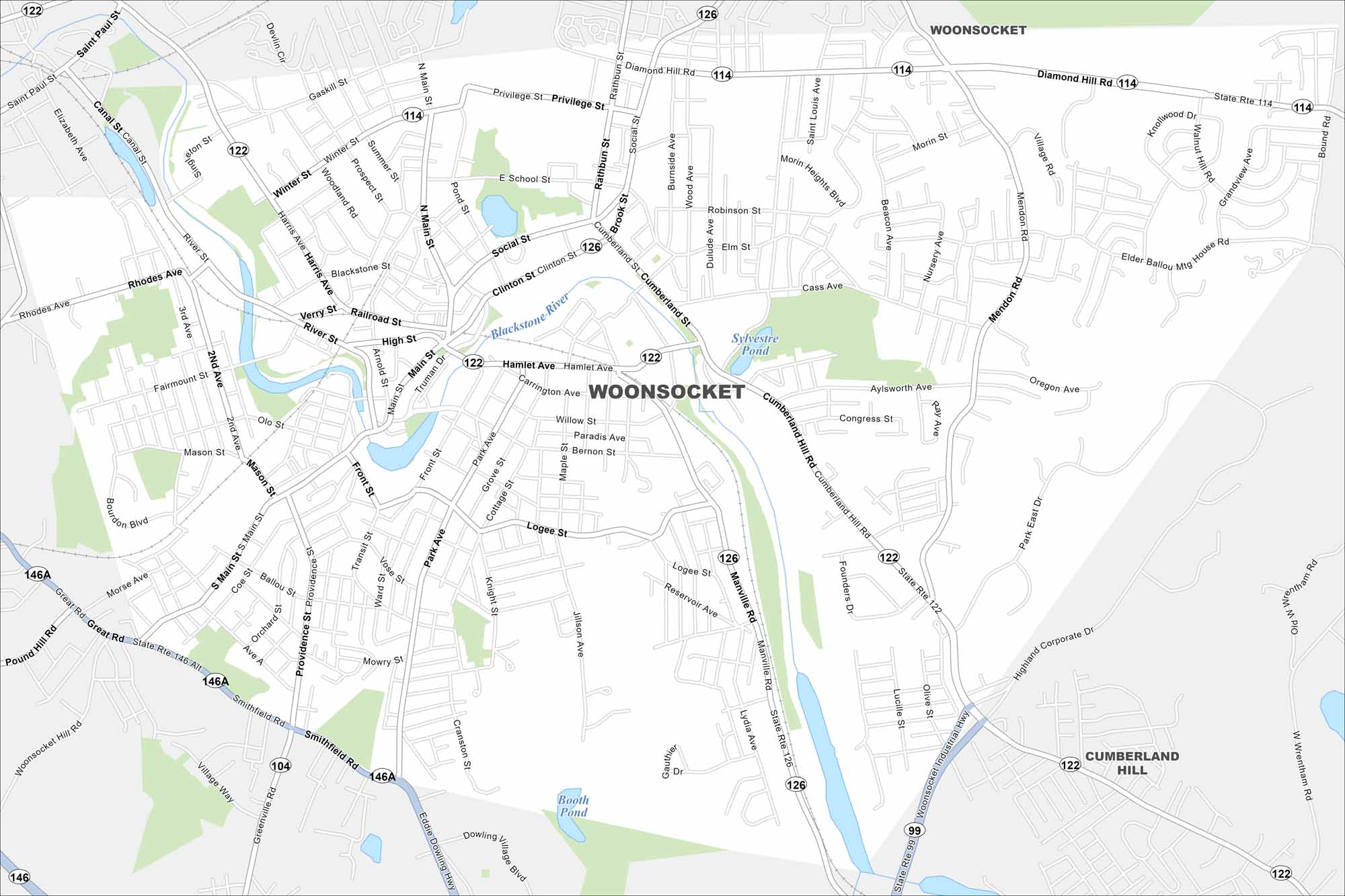
Looking for a map of Woonsocket, Rhode Island? Here’s one that shows the Blackstone River winding through its historic mill town streets.
Map Information
On the Map
Interstates/Highways: State Rte 99, State Rte 104, State Rte 114, State Rte 122, State Rte 126, State Rte 146, State Rte 146A Major Roads: Main St, Cumberland Hill Rd, Diamond Hill Rd, Social St, Bernon St, Cass Ave, Park Ave, Mendon Rd, Manville Rd, Privilege St, Clinton St, Hamlet Ave, Logee St, Smithfield Rd, River St, Winter St, Harris Ave, Blackstone St, Rathbun St, Wyllie Rd Lakes and Reservoirs: Sylvestre Pond, Booth Pond Major Rivers: Blackstone River Nearby Communities: Cumberland HillRhode Island State Maps
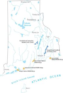
Here are our maps of this compact coastal state.
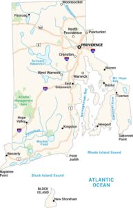


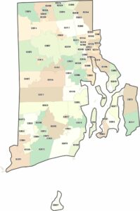
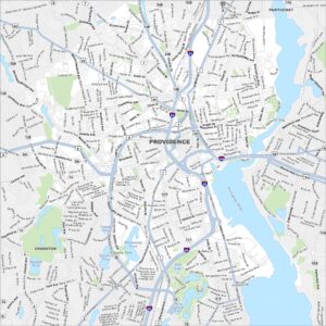
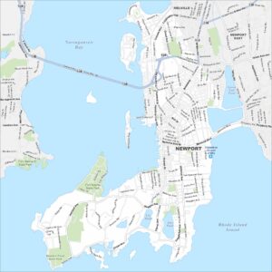
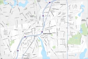
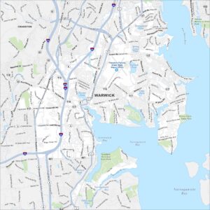
City Maps of Rhode Island
Chart your path through Rhode Island’s cities and towns