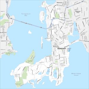
Map of Newport, Rhode Island
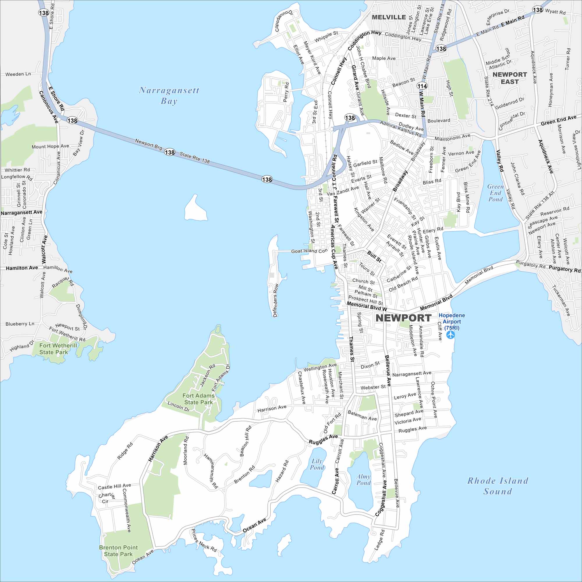
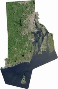
Newport lies on Aquidneck Island in Narragansett Bay. Our map shows a compact waterfront downtown, colonial streets, and surrounding beaches. The city is famous for its Gilded Age mansions and sailing.
Map Information
On the Map
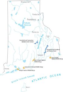
Interstates/Highways: State Rte 114, State Rte 138, State Rte 214 Major Roads: Bellevue Ave, Thames St, Broadway, Memorial Blvd, Admiral Kalbfus Rd, Connell Hwy, West Main Rd, East Main Rd, Ocean Ave, Harrison Ave, Ruggles Ave, Coggeshall Ave, Narragansett Ave, Kay St, Bliss Rd, Malbone Rd, Farewell St, Americas Cup Ave, Wellington Ave, Beacon Hill Rd Airports: Newport Airport (75RI) Lakes and Reservoirs: Narragansett Bay, Rhode Island Sound, Almy Pond, Lily Pond, Green End Pond Parks and Preserves: Brenton Point State Park, Fort Adams State Park, Fort Wetherill State Park Nearby Communities: Melville, Newport EastRhode Island State Maps
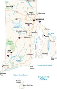
Here are our maps of this compact coastal state.


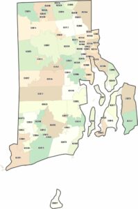
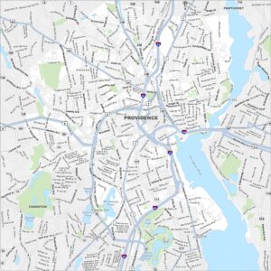
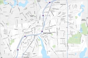
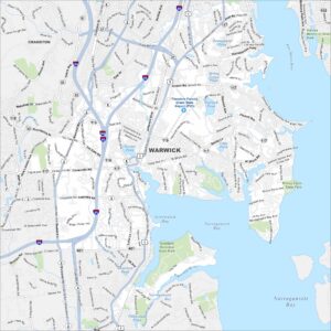
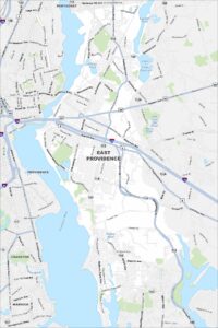
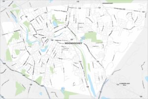
City Maps of Rhode Island
Chart your path through Rhode Island’s cities and towns