Map of North Liberty, Iowa
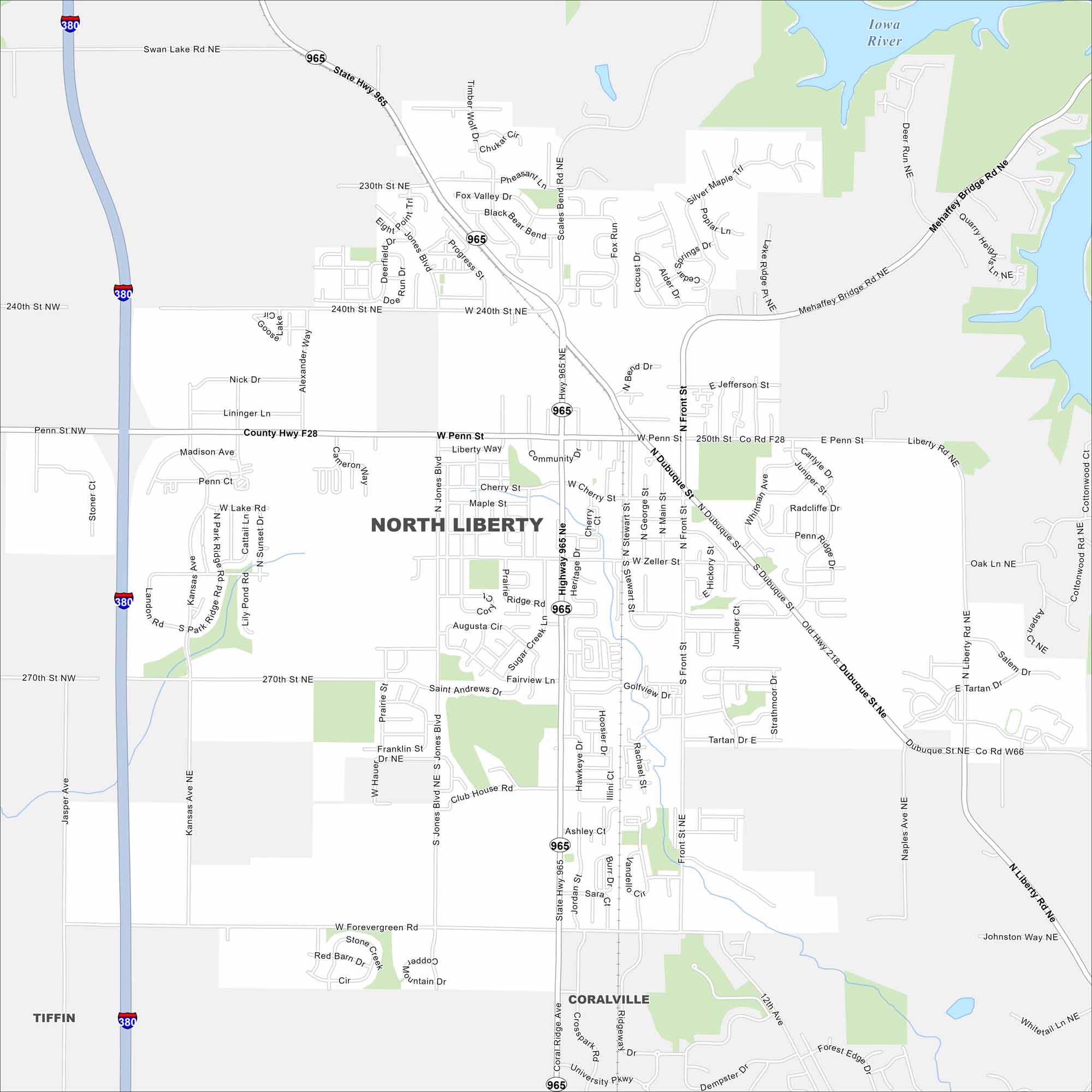
Our map of North Liberty shows a growing community between Iowa City and Cedar Rapids. Neighborhoods and parks fill much of the layout. The city has been expanding rapidly as part of the corridor region.


Map Information
On the Map
Interstates/Highways: I-380, US Hwy 218, State Rte 965 Major Roads: Penn St, Dubuque St, Cherry St, Zeller St, Front St, Forevergreen Rd, Kansas Ave, Liberty Way, Juniper Dr, Scales Bond Rd, Jones Blvd, Lake Ridge Way, Mehaffey Bridge Rd, St Andrews Dr, Ashley Ct, Community Dr, Madison Ave, Alexander Way, Stoner Ct, Jasper Ave Major Rivers: Iowa River Nearby Communities: Coralville, TiffinIowa City Maps
Browse city maps in the state of Iowa


