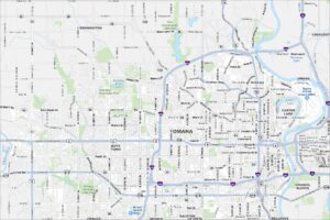
Map of Omaha, Nebraska
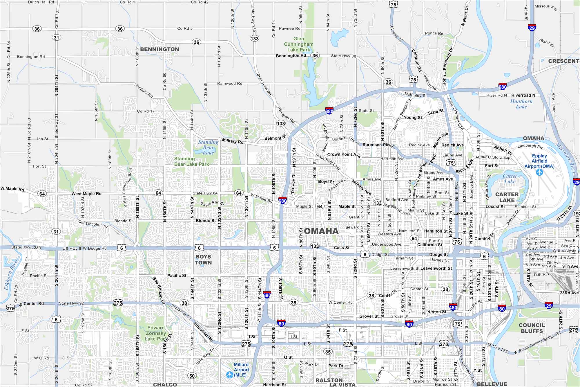
Omaha stretches along the Missouri River with a busy downtown core. Check out this map to see its neighborhoods, highways, and riverfront. The city is also known for its historic stockyards and arts scene.
Map Information
On the Map
Interstates/Highways: I-80, I-480, I-680, I-29, US Hwy 75, US Hwy 6, US Hwy 275, State Rte 31, State Rte 64, State Rte 133, State Rte 85, State Rte 36 Major Roads: Dodge St, Maple St, Pacific St, Center St, L St, Q St, Harrison St, 72nd St, 84th St, 90th St, 108th St, 120th St, 132nd St, 144th St, 156th St, 168th St, 180th St, 192nd St, 204th St, Kennedy Fwy Airports: Eppley Airfield (OMA), Millard Airport (MLE) Lakes and Reservoirs: Standing Bear Lake, Carter Lake, Hanthorn Lake Major Rivers: Missouri River, Elkhorn River Parks and Preserves: Glenn Cunningham Lake Park, Standing Bear Lake Park, Edward Zorinsky Lake Park Nearby Communities: Bennington, Boys Town, Ralston, La Vista, Chalco, Bellevue, Council Bluffs, CrescentNebraska State Maps
Examine maps showing prairies and cities in Nebraska.


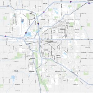
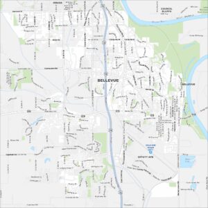
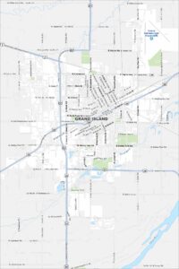
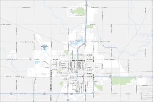
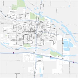
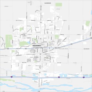
City Maps of Nebraska
Nebraska city maps are here