Map of Parker, Colorado
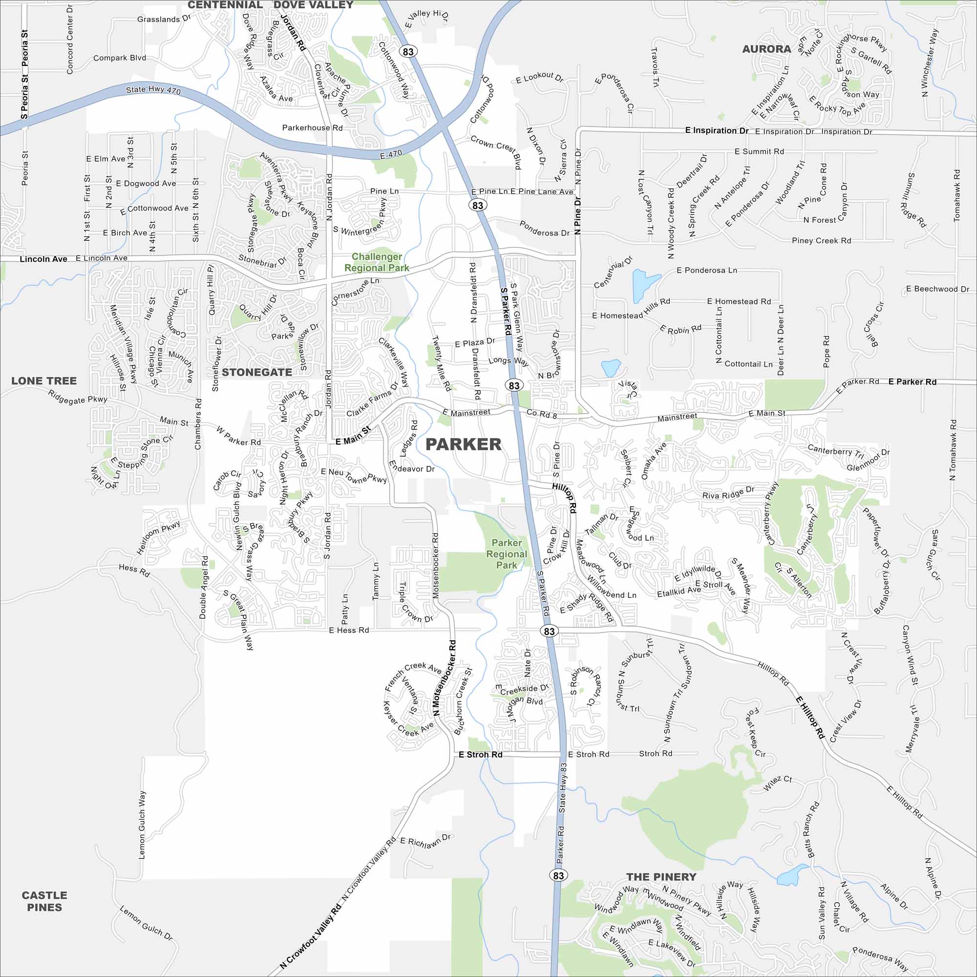
Parker sits on open plains southeast of Denver. Our map outlines its suburban layout mixed with open space and trails. The Rocky Mountains rise in the distance to the west.
Colorado State Maps
Browse Colorado with our detailed state maps


Map Information
On the Map
Interstates/Highways: State Hwy 470, State Hwy 83 Major Roads: Parker Rd, Lincoln Ave, Main St, Hess Rd, E-470, Stroh Rd, Jordan Rd, Chambers Rd, Twenty Mile Rd, Dransfeldt Rd, Motsenbocker Rd, Hilltop Rd, Pine Dr, Canterberry Pkwy, Cottonwood Way, Crowfoot Valley Rd, Bayou Gulch Rd, Bradbury Pkwy, Ridgegate Pkwy, Ponderosa Dr Parks and Preserves: Parker Regional Park, Challenger Regional Park Nearby Communities: Aurora, Lone Tree, Stonegate, Castle Pines, The Pinery, Centennial, Dove ValleyColorado City Maps
Here are maps of Colorado’s urban areas


