Map of Pearland, Texas
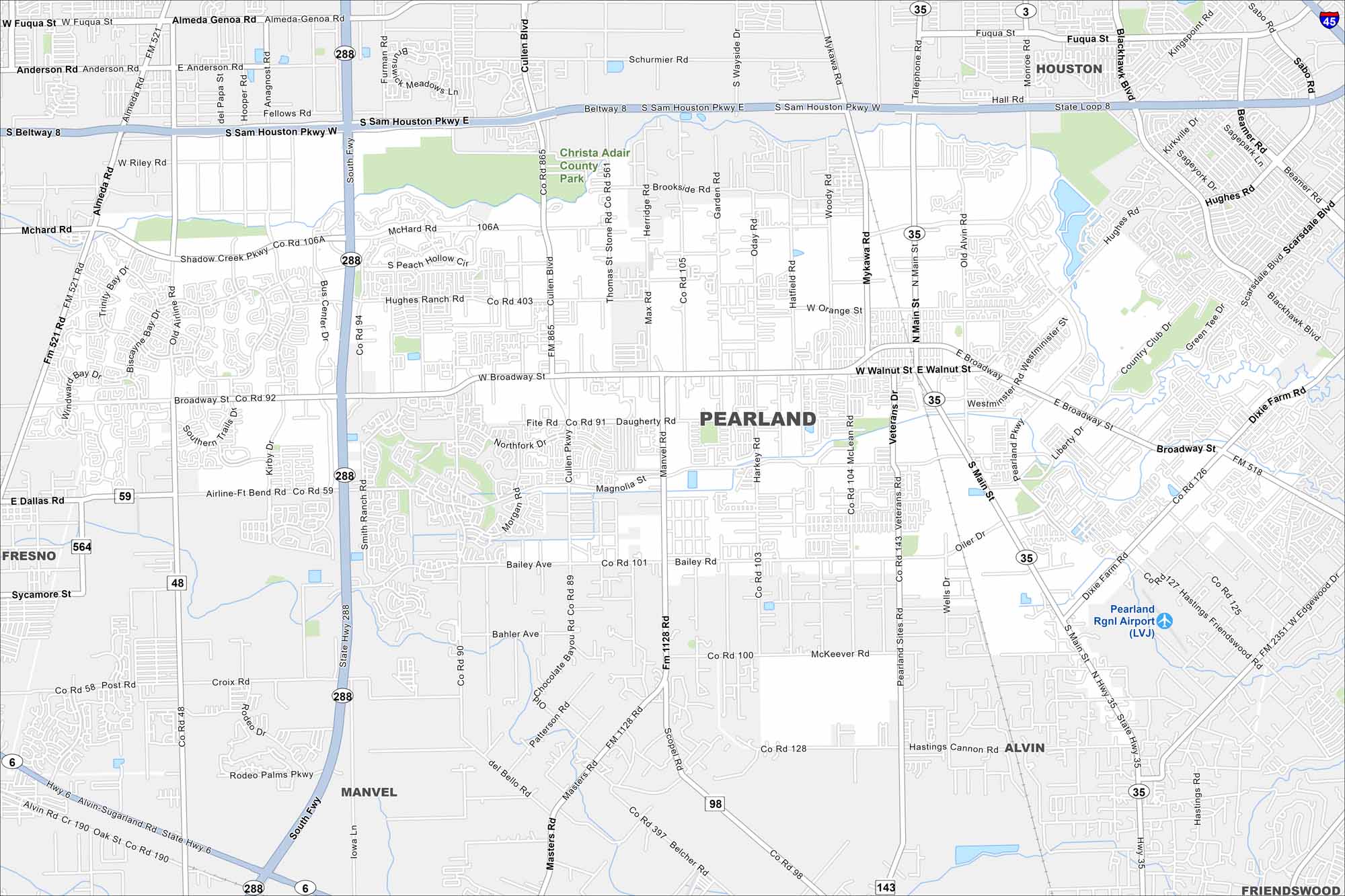
Take a look at Pearland, one of the fastest-growing cities near Houston. The map shows expanding suburbs mixed with parks and lakes. Its growth has made it a major hub in the metro area.
Map Information
On the Map
Interstates/Highways: State Rte 288, I-45, US Hwy 90, State Loop 8, State Rte 35, State Rte 6 Major Roads: Broadway St, Beltway 8, Sam Houston Pkwy, Main St, Almeda Genoa Rd, Mykawa Rd, Cullen Blvd, McHard Rd, Magnolia St, Bailey Rd, Dixie Farm Rd, Friendswood Rd, Smith Ranch Rd, Kirby Dr, Miller Rd, Hughes Rd, Walnut St, Orange St, Oiler Dr, Fite Rd Airports: Pearland Rgnl Airport (LVJ) Parks and Preserves: Christa Adair County Park Nearby Communities: Houston, Fresno, Manvel, Alvin, FriendswoodTexas State Maps
Scan our maps of the massive southern state of Texas.


City Maps of Texas
Explore our map collection of Texas cities.


