Map of Pflugerville, Texas
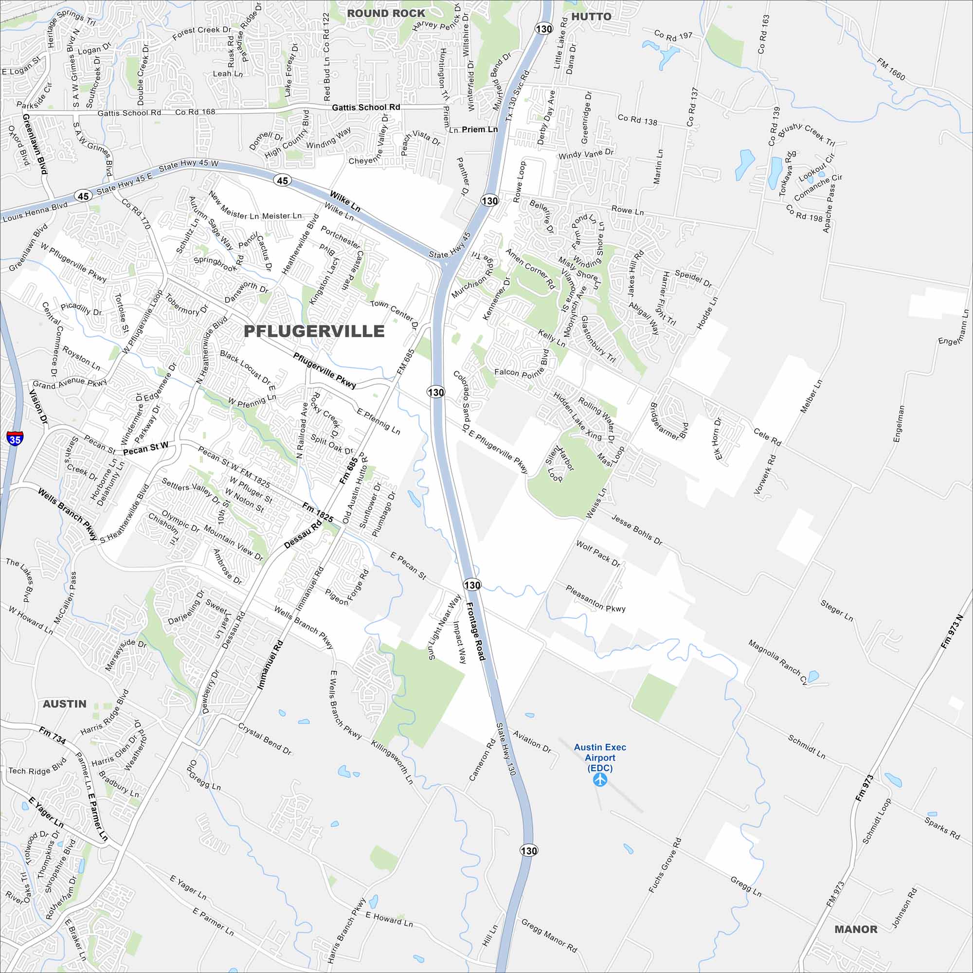
Take a look at Pflugerville northeast of Austin. This map shows suburban neighborhoods mixed with lakes and parks. Its German heritage still shows in its local festivals and names.
Map Information
On the Map
Interstates/Highways: State Hwy 130, State Hwy 45, I-35 Major Roads: Pflugerville Pkwy, Pecan St, Dessau Rd, Gattis School Rd, Wells Branch Pkwy, Kelly Ln, Weiss Ln, Heatherwilde Blvd, Immanuel Rd, Picadilly Dr, Grand Ave, Vision Dr, Howard Ln, Yager Ln, Parmer Ln, Harris Ridge Blvd, Cameron Rd, Fuchs Grove Rd, Gregg Manor Rd, Steger Ln Airports: Austin Exec Airport (EDC) Nearby Communities: Round Rock, Hutto, Austin, ManorTexas State Maps
Scan our maps of the massive southern state of Texas.


City Maps of Texas
Explore our map collection of Texas cities.


