Map of Pharr, Texas
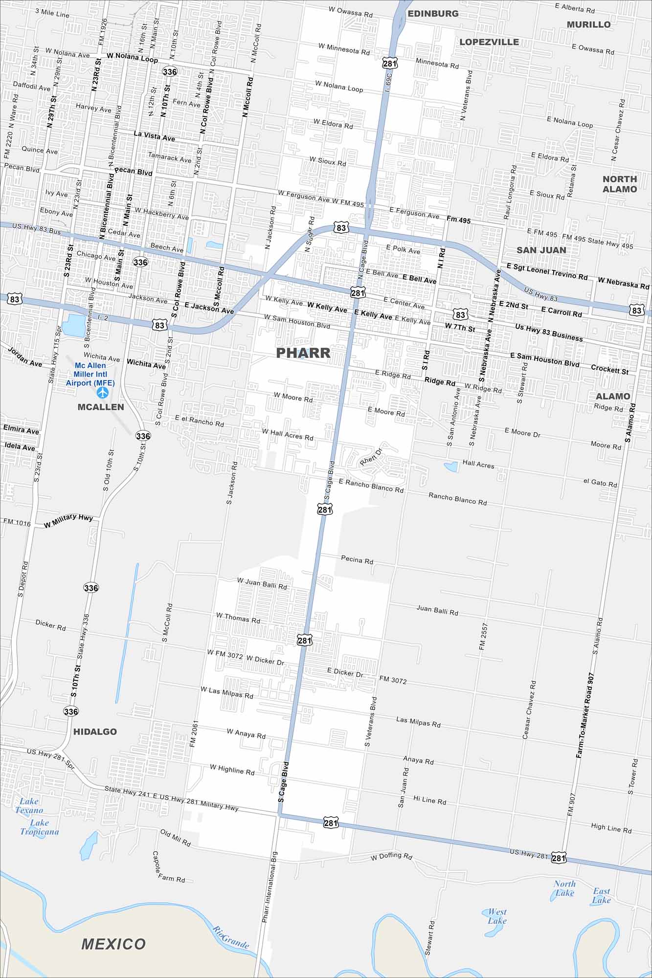
Our map of Pharr highlights its streets just north of the Rio Grande. The city is part of the busy McAllen metro area. Cross-border trade plays a big role in daily life here. That’s right. Pharr is not too “far” from Mexico.
Map Information
On the Map
Interstates/Highways: US Hwy 83, US Hwy 281, State Hwy 336 Major Roads: Cage Blvd, Nolana Loop, Ferguson Ave, Kelly Ave, Sam Houston Blvd, Military Hwy, Dicker Rd, Las Milpas Rd, Jackson Ave, Sugar Rd, McColl Rd, Col Rowe Blvd, Bicentennial Blvd, Main St, 10th St, 23rd St, Nebraska Ave, San Antonio Ave, Veterans Blvd, Stewart Rd Airports: McAllen Miller Intl Airport (MFE) Major Rivers: Rio Grande Nearby Communities: Edinburg, Lopezville, Murillo, North Alamo, San Juan, Alamo, McAllen, Hidalgo, MexicoTexas State Maps
Scan our maps of the massive southern state of Texas.


City Maps of Texas
Explore our map collection of Texas cities.


