Map of Yukon, Oklahoma
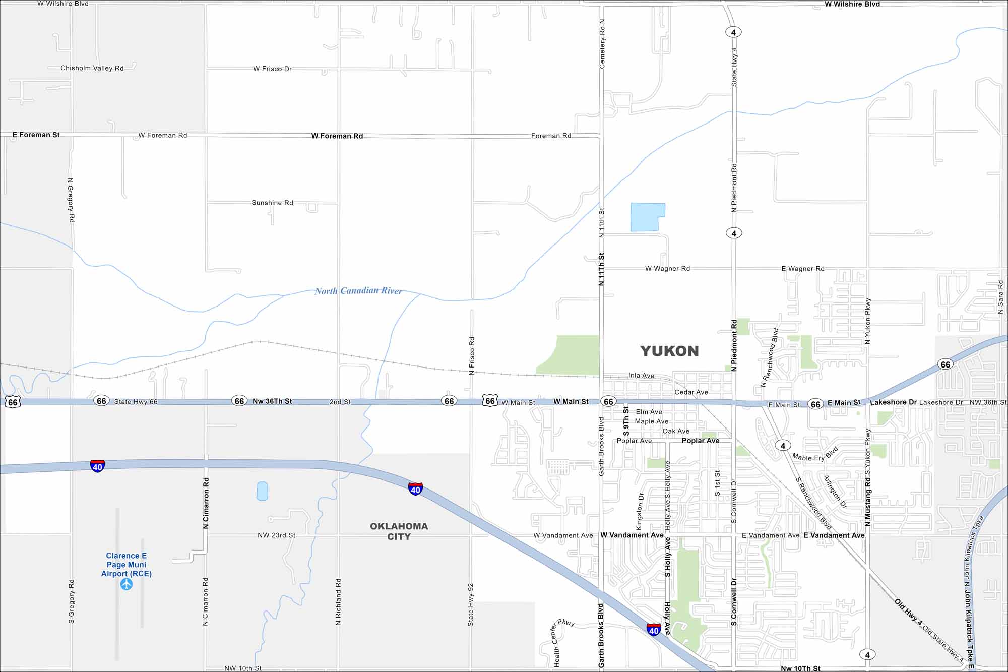
See the streets of Yukon, a city along historic Route 66. It’s just minutes from Oklahoma City but it still manages to keep its small-town look and feel.
Map Information
On the Map
Interstates/Highways: I-40, State Rte 66, State Rte 4, State Rte 92 Major Roads: Main St, Vandament Ave, 11th St, 10th St, Garth Brooks Blvd, Yukon Pkwy, Mustang Rd, Sara Rd, Cornwell Dr, Holly Ave, Richland Rd, Cimarron Rd, Gregory Rd, Wilshire Blvd, Frisco Rd, Foreman Rd, Wagner Rd, Poplar Ave, Oak Ave, Elm Ave Airports: Clarence E Page Muni Airport (RCE) Major Rivers: North Canadian River Nearby Communities: Oklahoma CityOklahoma State Maps
Here is our map collection of the Sooner State.


City Maps of Oklahoma
Explore Oklahoma’s cities with our maps


