Bible Belt Map
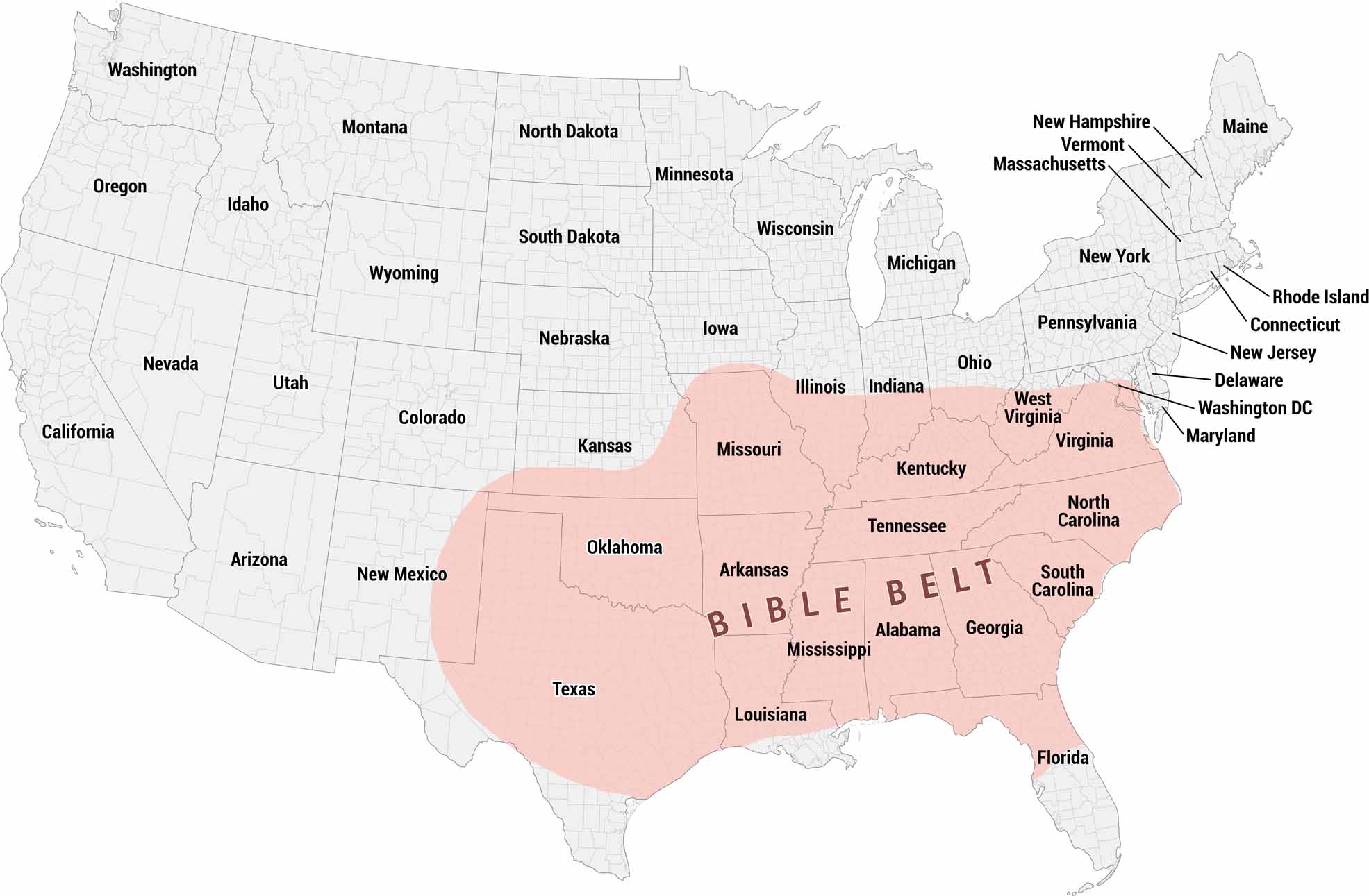
Our map shows the Bible Belt. This region of the American South and parts of the Midwest is characterized by historically high rates of church attendance.
Map Information
On the Map
Based on the shaded area in pink, the states included in the Bible Belt are:
Core States: Texas, Oklahoma, Arkansas, Louisiana, Mississippi, Alabama, Tennessee, Georgia, South Carolina, North Carolina, Virginia, West Virginia, Kentucky, Missouri Partial States: Florida, Kansas, Illinois, Indiana, OhioCultural Region Maps
Regions defined by culture, climate patterns, history, or shared identity.