Black Belt Map
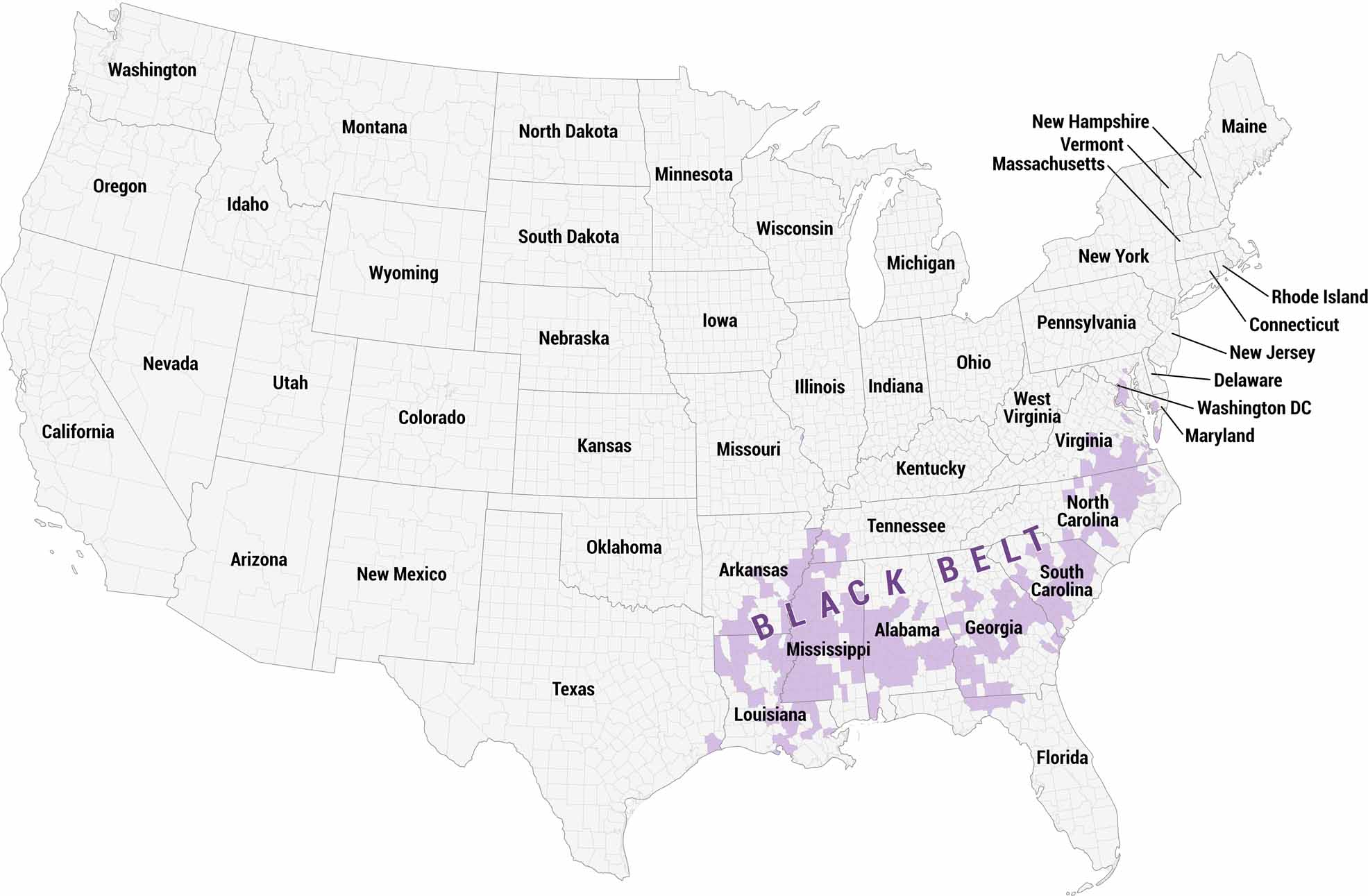
See the Black Belt region at the county level across the Deep South. Unlike most regional maps that shade entire states, this map highlights specific counties within states. It reflects the Black Belt’s geographic and demographic boundaries.
Map Information
On the Map
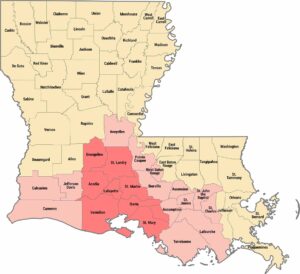
Alabama Counties: Barbour, Bullock, Butler, Chambers, Choctaw, Clarke, Conecuh, Dallas, Greene, Hale, Jefferson, Lowndes, Macon, Marengo, Mobile, Monroe, Montgomery, Perry, Pickens, Pike, Russell, Sumter, Talladega, Tuscaloosa, Wilcox Arkansas Counties: Chicot, Columbia, Crittenden, Dallas, Desha, Jefferson, Lafayette, Lee, Mississippi, Monroe, Ouachita, Phillips, Pulaski, St. Francis, Union Florida Counties: Gadsden, Hamilton, Jefferson, Leon, Madison Georgia Counties: Baker, Baldwin, Ben Hill, Bibb, Brooks, Burke, Calhoun, Chatham, Clay, Clayton, Crisp, Decatur, DeKalb, Dooly, Dougherty, Douglas, Early, Emanuel, Fulton, Greene, Hancock, Henry, Houston, Jefferson, Jenkins, Johnson, Laurens, Liberty, Lowndes, Macon, McDuffie, Meriwether, Mitchell, Muscogee, Newton, Peach, Pulaski, Quitman, Randolph, Richmond, Rockdale, Screven, Seminole, Spalding, Stewart, Sumter, Talbot, Taliaferro, Taylor, Telfair, Terrell, Thomas, Treutlen, Troup, Turner, Twiggs, Warren, Washington, Webster, Wheeler, Wilcox, Wilkes, Wilkinson Louisiana Counties: Bienville, Caddo, Claiborne, Concordia, De Soto, East Baton Rouge, East Carroll, East Feliciana, Franklin, Iberia, Iberville, Lincoln, Madison, Morehouse, Natchitoches, Orleans, Ouachita, Pointe Coupee, Rapides, Red River, Richland, St. Helena, St. James, St. John the Baptist, St. Landry, St. Mary, Tangipahoa, Tensas, Webster, West Baton Rouge Maryland Counties: Baltimore, Charles, Prince George’s, Somerset Mississippi Counties: Adams, Amite, Attala, Benton, Bolivar, Carroll, Chickasaw, Claiborne, Clarke, Clay, Coahoma, Copiah, Covington, DeSoto, Forrest, Franklin, Grenada, Hinds, Holmes, Humphreys, Issaquena, Jasper, Jefferson, Jefferson Davis, Kemper, Lauderdale, Lawrence, Leake, Leflore, Lincoln, Lowndes, Madison, Marion, Marshall, Monroe, Montgomery, Newton, Noxubee, Oktibbeha, Panola, Pike, Quitman, Scott, Sharkey, Simpson, Sunflower, Tallahatchie, Tunica, Walthall, Warren, Washington, Wayne, Wilkinson, Winston, Yalobusha, Yazoo Missouri Counties: St. Louis North Carolina Counties: Anson, Bertie, Bladen, Caswell, Chowan, Cumberland, Durham, Edgecombe, Granville, Greene, Guilford, Halifax, Hertford, Hoke, Lenoir, Martin, Nash, Northampton, Pasquotank, Pitt, Scotland, Vance, Warren, Washington, Wayne, Wilson South Carolina Counties: Allendale, Bamberg, Barnwell, Calhoun, Chester, Chesterfield, Clarendon, Colleton, Darlington, Dillon, Edgefield, Fairfield, Florence, Greenwood, Hampton, Jasper, Lee, Marion, Marlboro, McCormick, Orangeburg, Richland, Sumter, Union, Williamsburg Tennessee Counties: Hardeman, Haywood, Lauderdale, Madison, Shelby Texas Counties: Jefferson Virginia Counties: Brunswick, Buckingham, Charles City, Danville, Emporia, Essex, Franklin, Greensville, Halifax, Hampton, Hopewell, Lunenburg, Martinsville, Mecklenburg, Newport News, Norfolk, Northampton, Nottoway, Petersburg, Portsmouth, Prince Edward, Prince George, Richmond, Southampton, Suffolk, Surry, Sussex, WilliamsburgCultural Region Maps
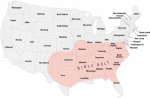
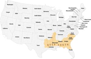
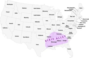
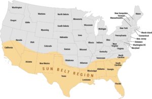
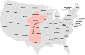
Regions defined by culture, climate patterns, history, or shared identity.