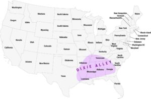
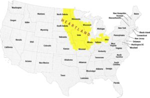
Great Plains Map
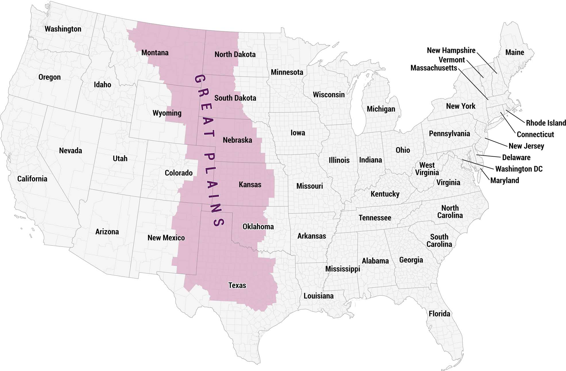
Our map displays the Great Plains in pink. In general, this region stretches in a broad north-to-south band through the center of the country. The region label runs vertically through the highlighted area, with a gray backdrop of the state.
Map Information
On the Map
Great Plains States: Montana, North Dakota, South Dakota, Wyoming, Nebraska, Colorado, Kansas, New Mexico, Oklahoma, Texas Other States: Washington, Oregon, California, Nevada, Idaho, Utah, Arizona, Minnesota, Iowa, Missouri, Arkansas, Louisiana, Mississippi, Alabama, Georgia, Florida, Tennessee, Kentucky, West Virginia, Virginia, North Carolina, South Carolina, Maryland, Delaware, Washington DC, New Jersey, Connecticut, Rhode Island, Pennsylvania, New York, Massachusetts, Vermont, New Hampshire, Maine, Illinois, Indiana, Ohio, Michigan, WisconsinCultural Region Maps
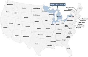
Regions defined by culture, climate patterns, history, or shared identity.