Map of Rowlett, Texas
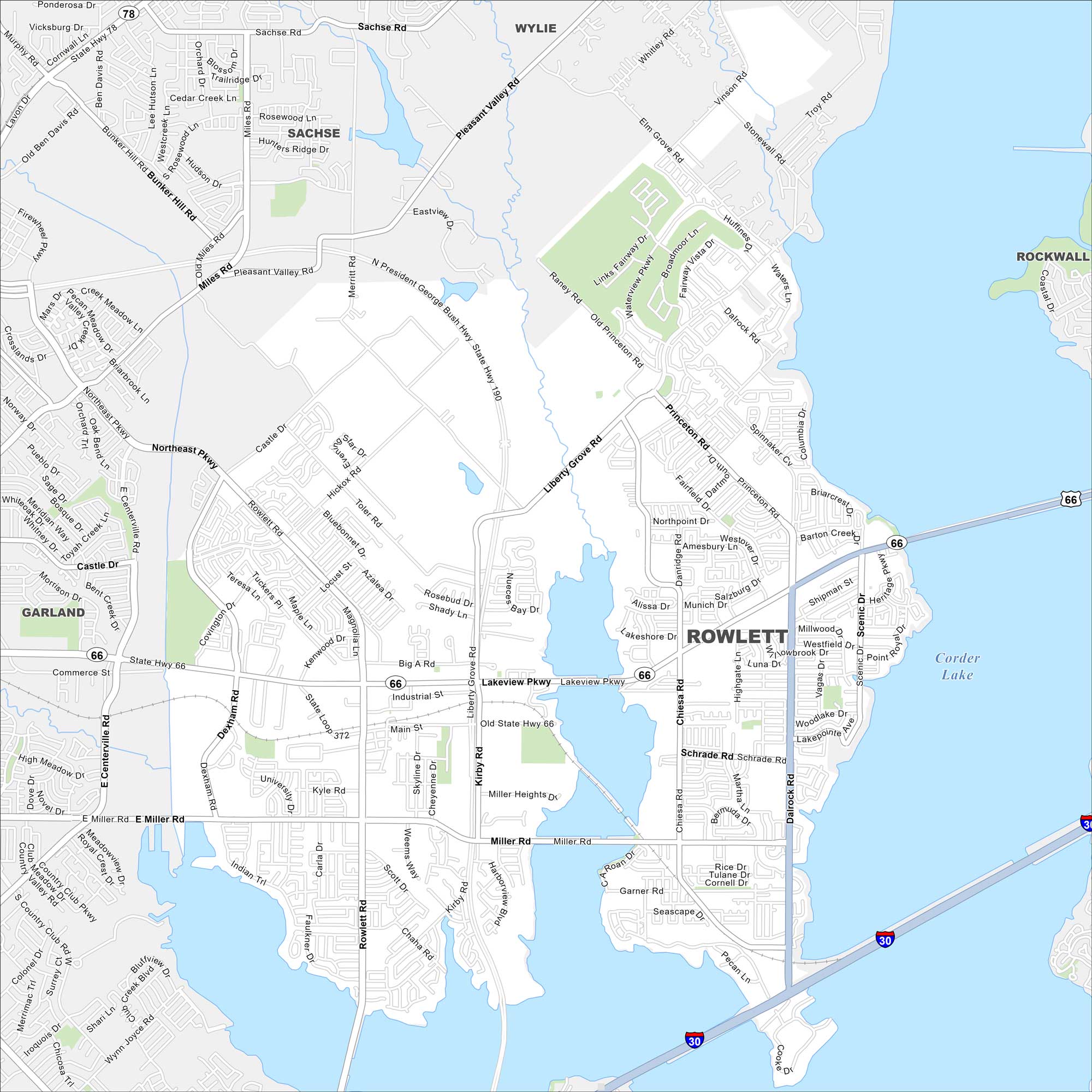
Here’s our map of Rowlett. It shows the city’s neighborhoods and its position on Lake Ray Hubbard. Our map makes it simple to see how it connects to Dallas.
Map Information
On the Map
Interstates/Highways: I-30, US Hwy 66, State Hwy 66, State Hwy 78 Major Roads: Lakeview Pkwy, Rowlett Rd, Dalrock Rd, Miller Rd, Liberty Grove Rd, President George Bush Hwy, Princeton Rd, Main St, Industrial St, Chiesa Rd, Scenic Dr, Merritt Rd, Castle Dr, Centerville Rd, Danridge Rd, Schrade Rd, Garner Rd, Pecan Ln, Cooke Dr, Miller Heights Dr Lakes and Reservoirs: Corder Lake Nearby Communities: Wylie, Sachse, Rockwall, GarlandTexas State Maps
Scan our maps of the massive southern state of Texas.


City Maps of Texas
Explore our map collection of Texas cities.


