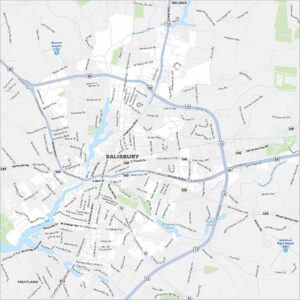
Map of Salisbury, Maryland
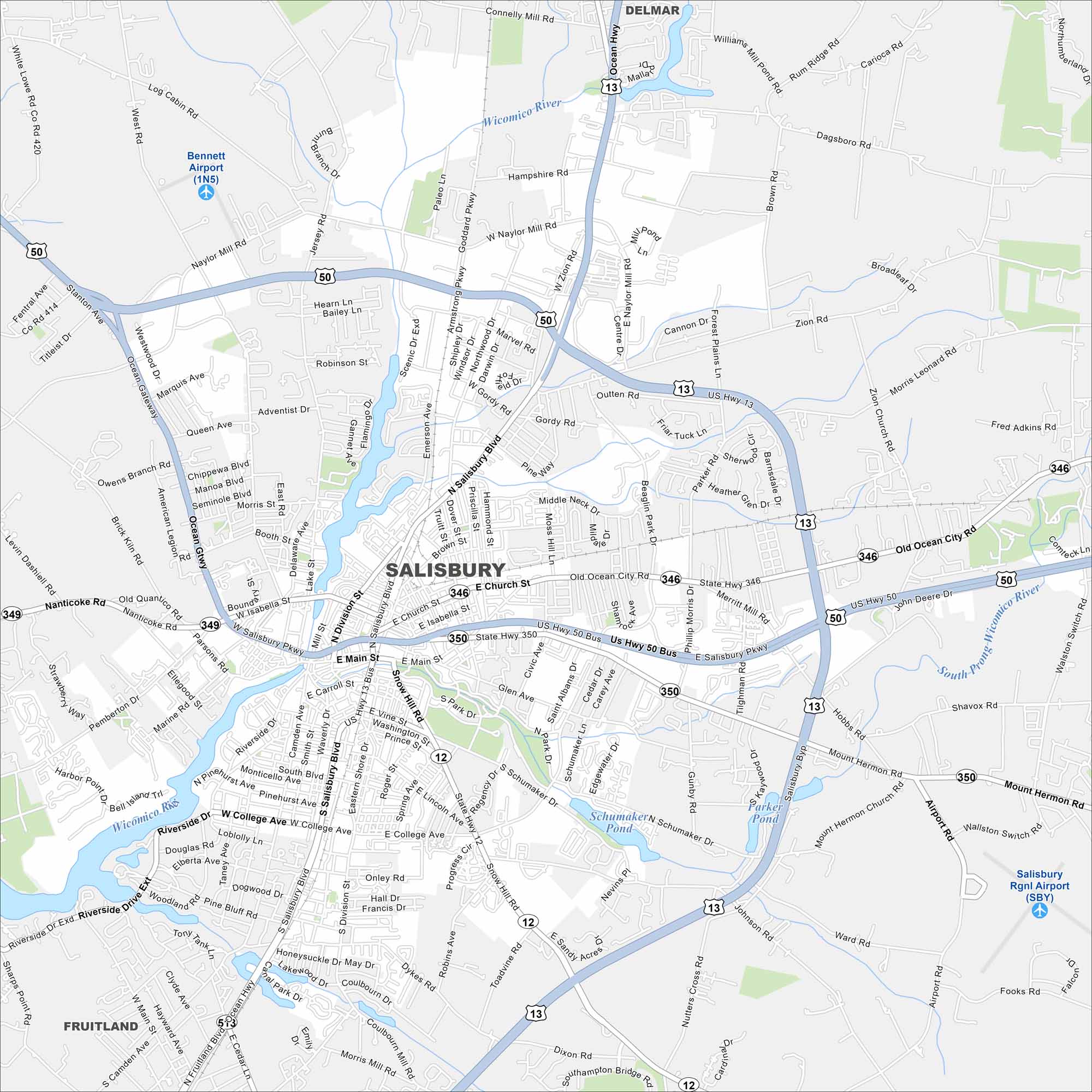
Here’s our map of Salisbury. It shows the downtown streets and the riverside setting. Use it to get around this Eastern Shore city.
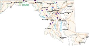
Maryland State Maps
See the geography of Maryland with our state maps


Map Information
On the Map
Interstates/Highways: US Hwy 13, US Hwy 13 Bus, US Hwy 50, US Hwy 50 Bus, State Hwy 12, State Hwy 346, State Hwy 349, State Hwy 350 Major Roads: Salisbury Pkwy, Ocean Gtwy, Ocean Hwy, Nanticoke Rd, Snow Hill Rd, Mount Hermon Rd, Old Ocean City Rd, College Ave, Riverside Dr, Division St, Main St, Church St, Isabella St, Naylor Mill Rd, Zion Rd, Beaglin Park Dr, Schumaker Dr, Carroll St, Eastern Shore Dr, Fruitland Blvd Airports: Bennett Airport (1N5), Salisbury Rgnl Airport (SBY) Lakes and Reservoirs: Schumaker Pond, Parker Pond, Johnson Pond, Tonytank Pond Major Rivers: Wicomico River Nearby Communities: Delmar, FruitlandCity Maps of Maryland
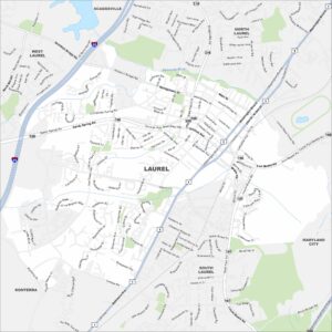
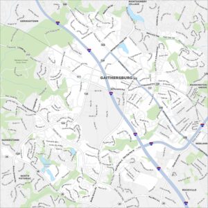
Here are our city maps of Maryland