Map of San Angelo, Texas
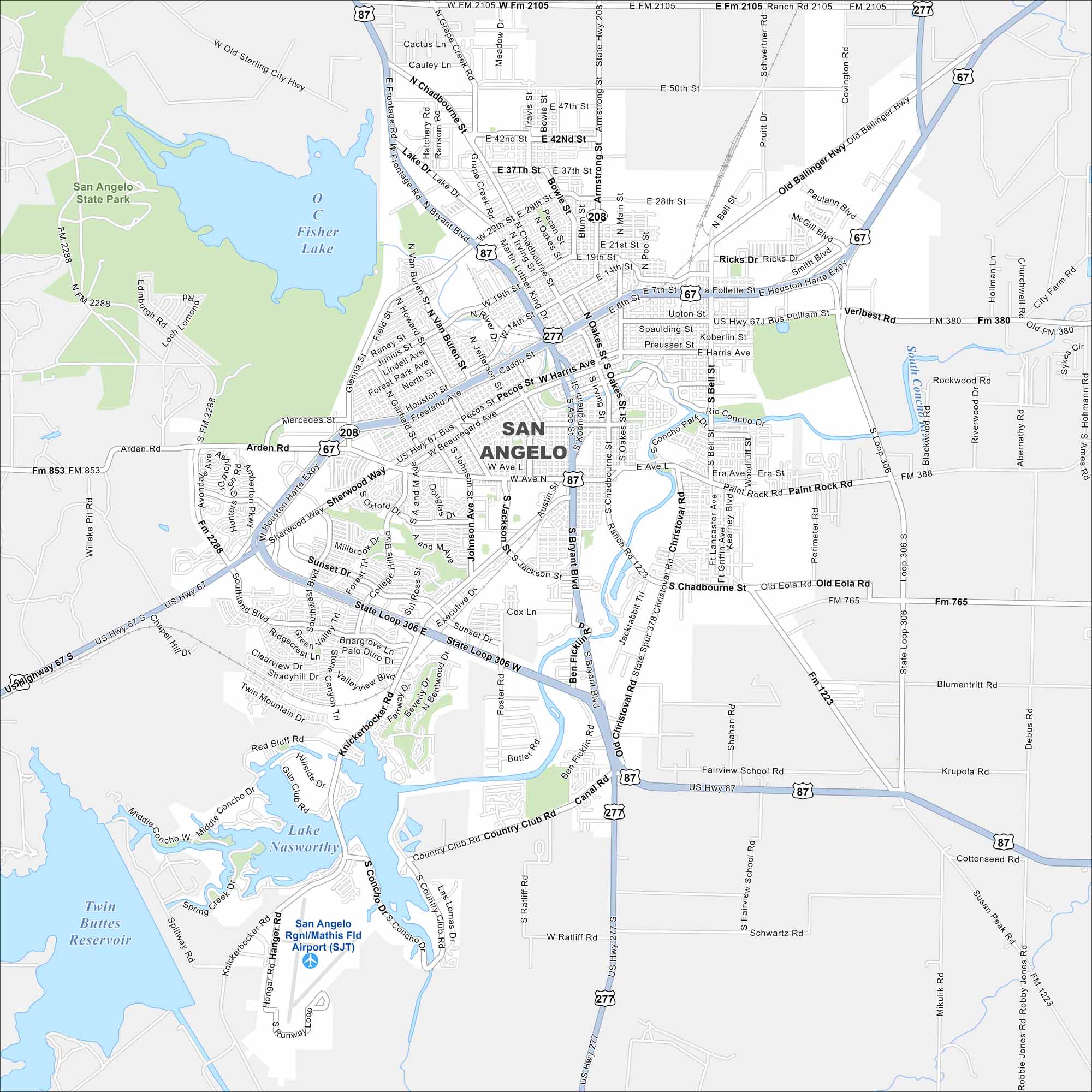
Our map of San Angelo highlights the Concho River and downtown streets. You’ll also find Lake Nasworthy, O C Fisher Lake and Twin Buttes Reservoir here. It’s a clear guide to this West Texas city.
Map Information
On the Map
Interstates/Highways: US Hwy 67, US Hwy 87, US Hwy 277, State Loop 306 Major Roads: Main St, Beauregard Ave, Harris Ave, Chadbourne St, Bryant Blvd, Knickerbocker Rd, Sherwood Way, Johnson St, Abe St, Koerlin St, Pulliam St, Bell St, Paint Rock Rd, Country Club Rd, Christoval Rd, Arden Rd, Sunset Dr, College Hills Blvd, Jackson St, Rio Concho Dr Airports: San Angelo Rgnl/Mathis Fld Airport (SJT) Lakes and Reservoirs: Fisher Lake, Lake Nasworthy, Twin Buttes Reservoir Major Rivers: Concho River Nearby Communities: San Angelo State Park, Kirby Park, Santa Rita Park, Unit Park, Rio Concho Park, Mountainview Park, Southside ParkTexas State Maps
Scan our maps of the massive southern state of Texas.


City Maps of Texas
Explore our map collection of Texas cities.


