Map of San Marcos, Texas
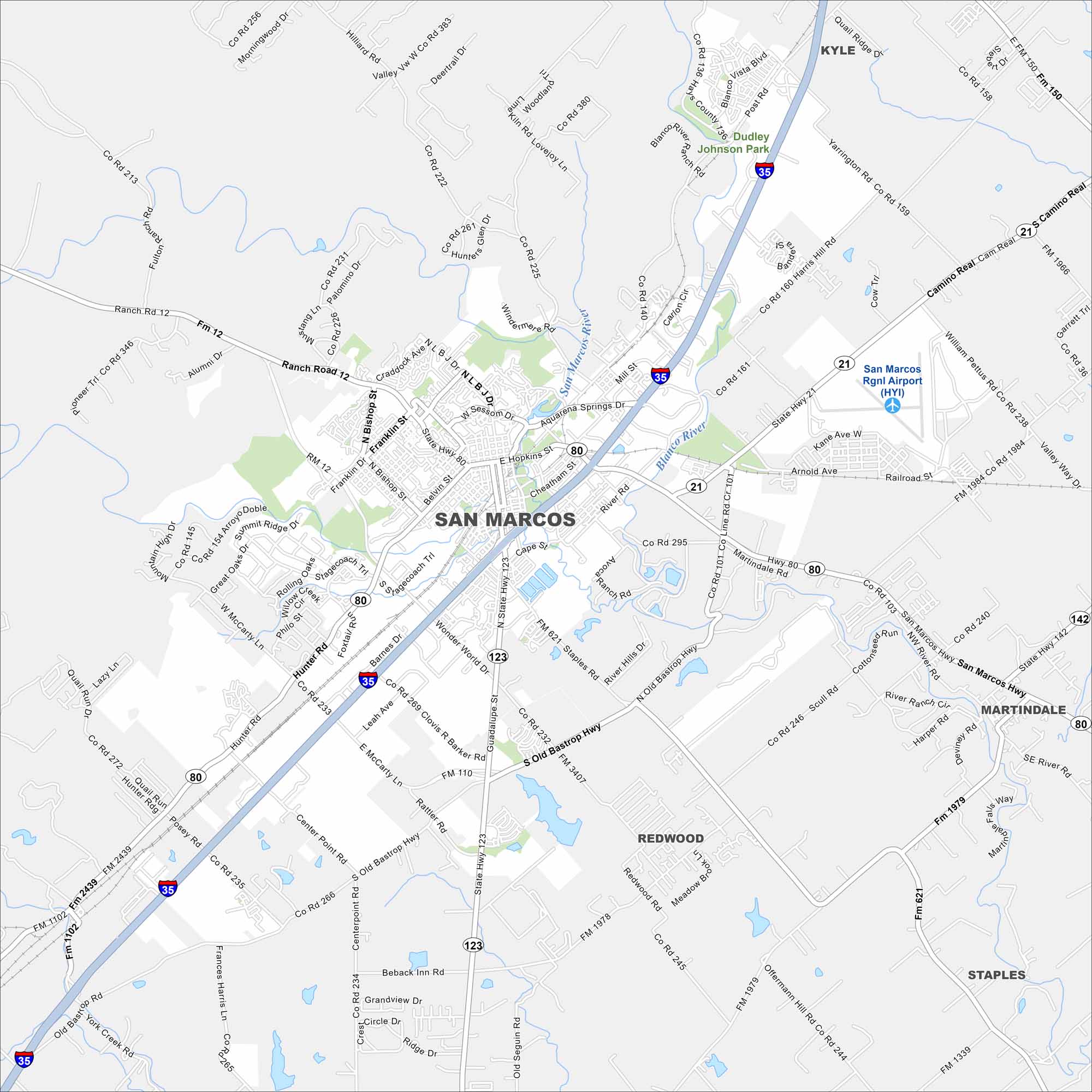
Our road map of San Marcos shows the downtown square and the river that runs through town. It’s a city that feels lively and walkable.
Map Information
On the Map
Interstates/Highways: I-35, US Hwy 80, State Hwy 21, State Hwy 80, State Hwy 123 Major Roads: Loop 82, Wonder World Dr, McCarty Ln, Hunter Rd, Post Rd, Aquarena Springs Dr, Hopkins St, Cheatham St, River Rd, Staples Rd, Old Bastrop Hwy, Rattler Rd, Center Point Rd, Redwood Rd, Harris Hill Rd, Yarrington Rd, Hilliard Rd, Morningwood Dr, Fulton Ranch Rd, Craddock Ave Airports: San Marcos Rgnl Airport (HYI) Major Rivers: San Marcos River, Blanco River Parks and Preserves: Dudley Johnson Park Nearby Communities: Kyle, Martindale, Redwood, StaplesTexas State Maps
Scan our maps of the massive southern state of Texas.


City Maps of Texas
Explore our map collection of Texas cities.


