Map of Seabrook, Texas
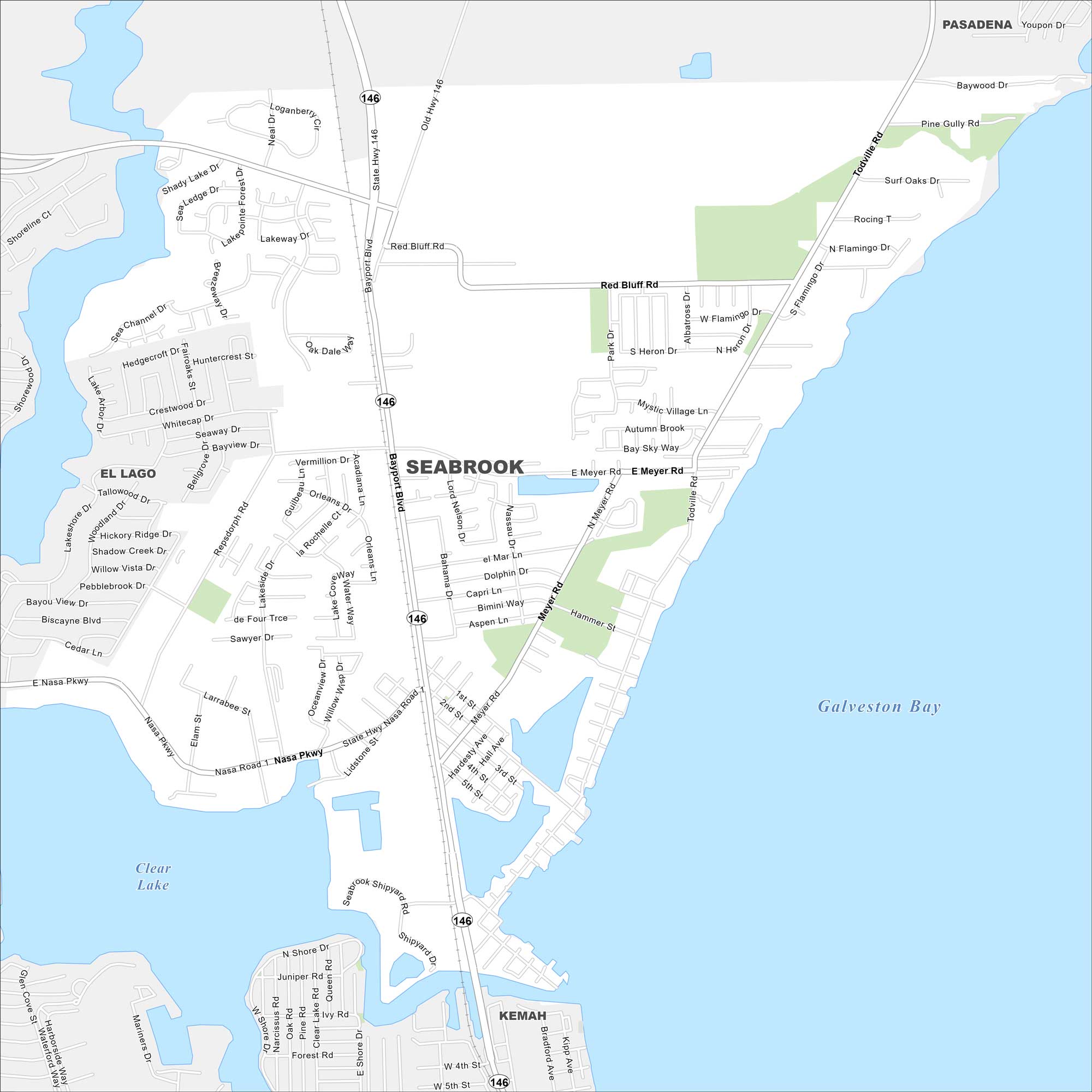
Our map of Seabrook highlights its waterfront, marinas, and access to Galveston Bay. It’s a small town that blends a coastal feel with easy travel routes.
Map Information
On the Map
Interstates/Highways: State Hwy 146 Major Roads: Nasa Pkwy, Nasa Rd 1, Red Bluff Rd, Bayport Blvd, Meyer Rd, Repsdorph Rd, Lakeside Dr, Todville Rd, Pine Gully Rd, Old Hwy 146, Shoreline Ct, Shady Lake Dr, Seaway Dr, Crestwood Dr, Whitecap Dr, Bayview Dr, Vermillion Dr, Orleans Dr, Capri Ln, Aspen Ln Lakes and Reservoirs: Galveston Bay, Clear Lake Nearby Communities: Pasadena, El Lago, KemahTexas State Maps
Scan our maps of the massive southern state of Texas.


City Maps of Texas
Explore our map collection of Texas cities.


