Map of Sherman, Texas
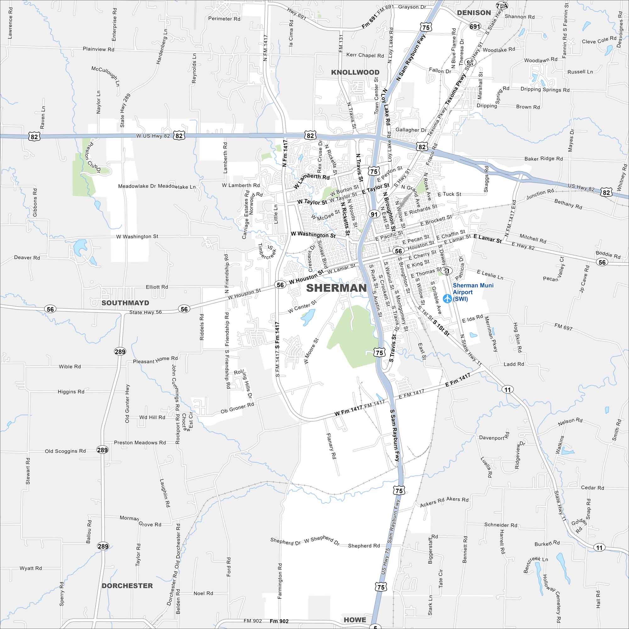
Sherman is a hub in North Texas. Our map of Sherman shows the historic downtown, nearby lakes, and the roads that connect the region.
Map Information
On the Map
Interstates/Highways: US Hwy 75, US Hwy 82, State Hwy 11, State Hwy 56, State Hwy 91, State Hwy 289 Major Roads: Sam Rayburn Fwy, Texoma Pkwy, Taylor St, Washington St, Houston St, Lamar St, Travis St, Austin St, Walnut St, Broughton St, Montgomery St, Rusk St, Heritage Pkwy, Lamberth Rd, OB Groner Rd Airports: Sherman Muni Airport (SWI) Nearby Communities: Denison, Knollwood, Southmayd, Dorchester, HoweTexas State Maps
Scan our maps of the massive southern state of Texas.


City Maps of Texas
Explore our map collection of Texas cities.


