Map of Spencer, Iowa
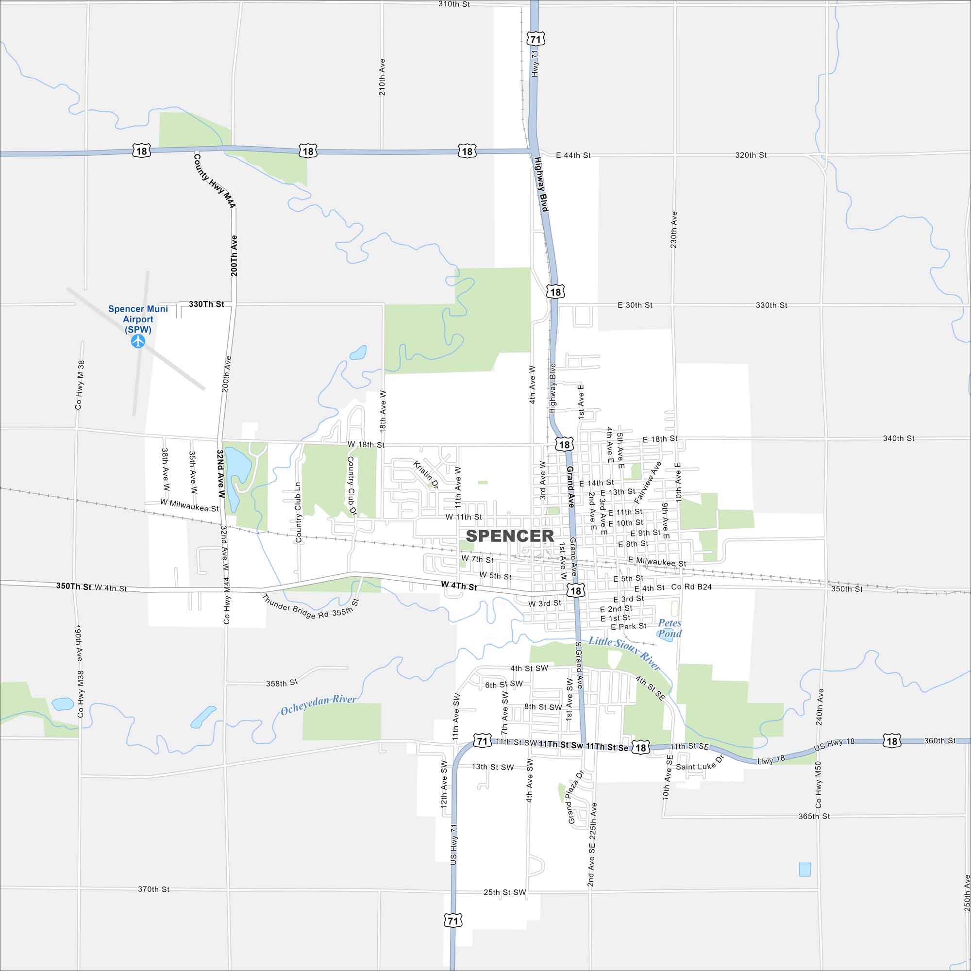
Our map of Spencer shows this Clay County hub in northwest Iowa. The town is known for the Clay County Fair and a welcoming small-town feel.


Map Information
On the Map
Interstates/Highways: US Hwy 71, US Hwy 18 Major Roads: Grand Ave, Highway Blvd, 4th St, 11th St, 13th St, 25th St, Milwaukee St, 18th St, 30th St, 44th St, 10th Ave, 4th Ave, 11th Ave, 32nd Ave, 38th Ave, Country Club Ln, Saint Luke Dr, Park St, 1st St, 3rd St Airports: Spencer Muni Airport (SPW) Lakes and Reservoirs: Petes Pond Major Rivers: Little Sioux River, Ocheyedan RiverIowa City Maps
Browse city maps in the state of Iowa


